
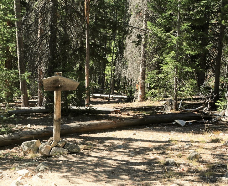
Hiking to Hell Roaring Lake
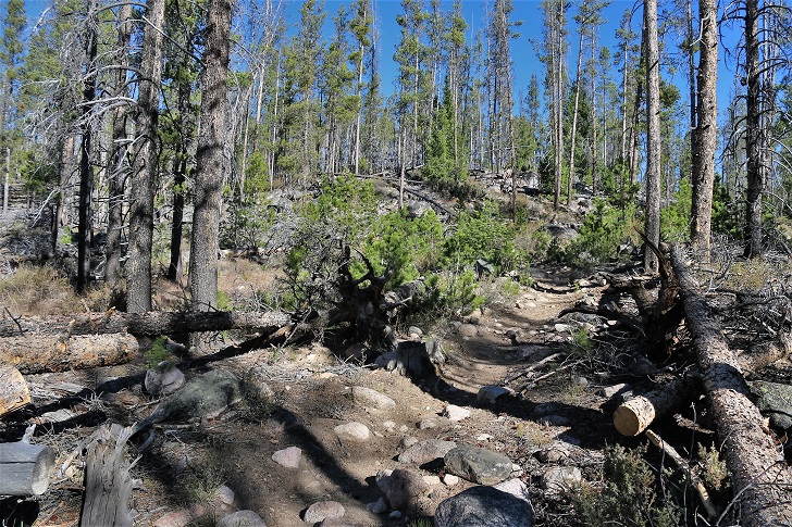
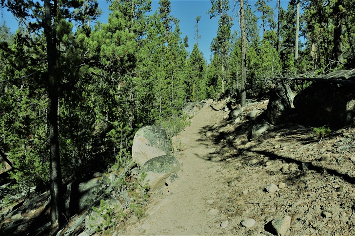
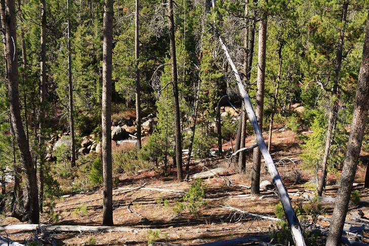
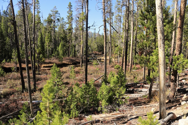
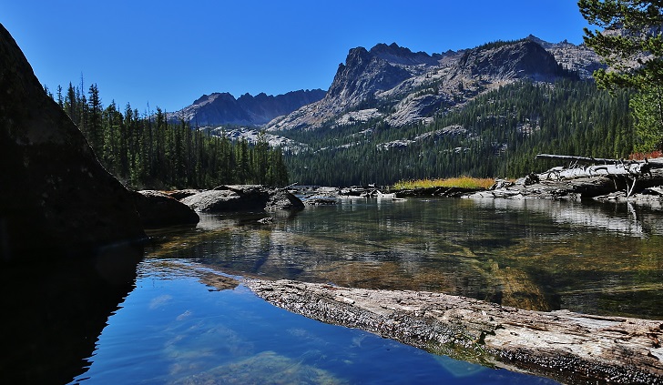
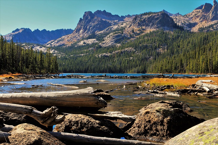
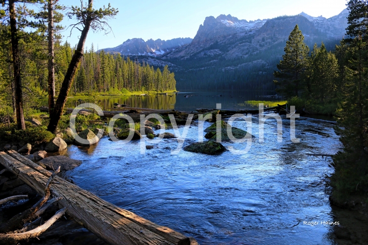
Hell Roaring Lake is located in the Sawtooth Mountains about 13 miles south of Stanley, Idaho as the crow flies. The hike is almost exactly 5 miles from the trailhead to the foot bridge over the outlet stream. Per Google maps there is a difference in elevation of just over 600 feet. 320 feet of that gain happens in the first half to three quarter of a mile. I have heard this hike can be quite colorful in early summer with all of the wildflowers in bloom. Sadly I made this hike in October and found the hike to be very uneventful until I reached the lake. The views at the lake are breath taking and made the hike well worth it.
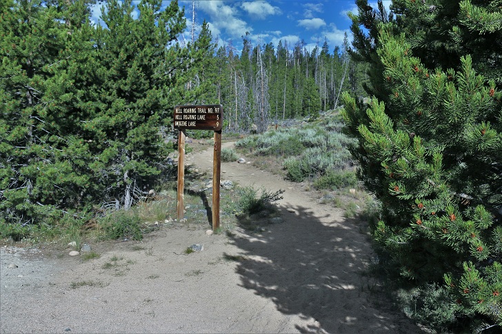
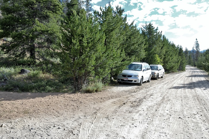
Let's start with directions on finding the trailhead. Starting at Stanley, Idaho travel 15.3 miles south on Highway 75 to Forest Rd 209 which will be on your right. Follow FR209 .2 miles where after crossing the Salmon River you will turn left on Forest Rd 315. The trailhead is on your right about .3 miles down FR 315.
The elevation here is 6800 feet and the coordinates are:
N 44 01' 32.5"
W 114 50' 30.9"'
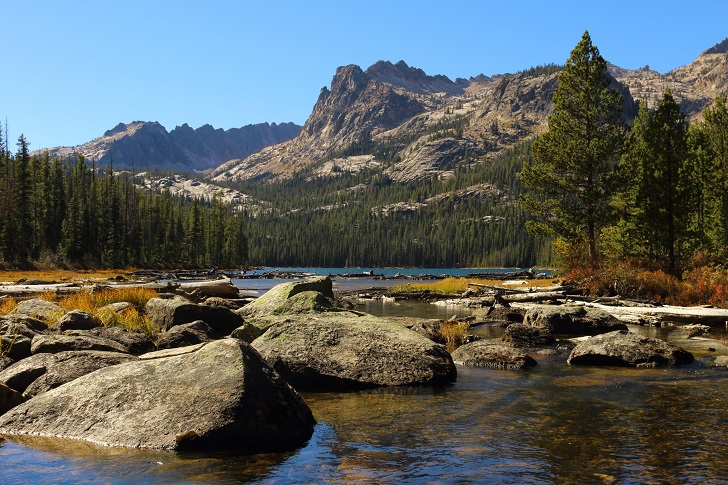
Hell Roaring Lake
Elevation: 7407 feet
Coordinates:
N 44 01' 36.4"
W 114 55' 42.7"
This information is accurate as of the date of the review.
← All Hiking