← All Hiking
Hiking to Skein And Raft Lakes
📍 44.4866090,-116.1041380
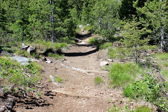
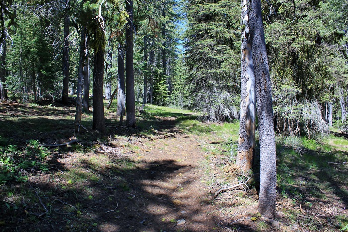
The hike into Skein Lake is just short of 1 mile.
The elevation here is 6221 feet and the coordinates are:
N 44 29 .184'
W 116 06. 251'
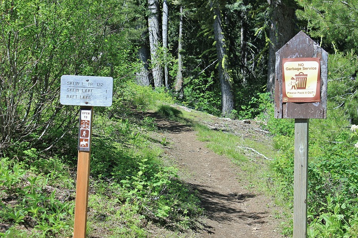
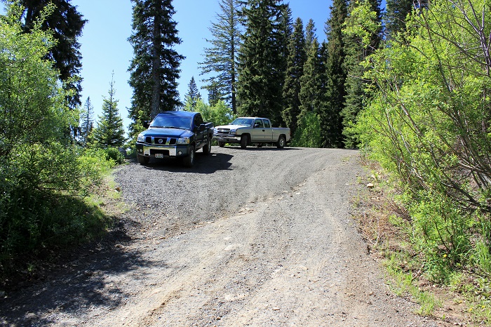
There is a small parking area at the trailhead. To get here follow this Google Map.
N 44 29 .184'
W 116 06. 251'
There is a small parking area at the trailhead. To get here follow this Google Map.
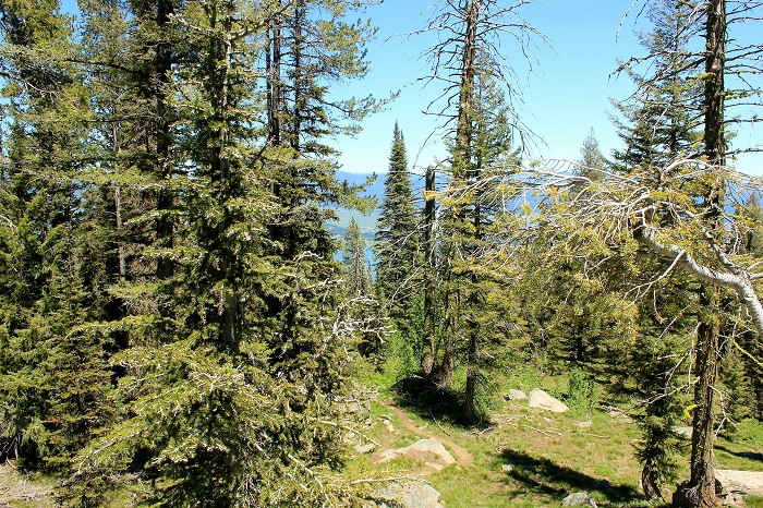
The trail averages just over a 10% grade.
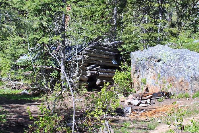
You will find this cabin only a couple hundred feet from Skein lake.
The elevation is 6884 feet.
Coordinates here are:
N 44 28.680'
W 116 06.639'
From the cabin, go left to Skein Lake or right to the trail to Raft Lake.
The elevation is 6884 feet.
Coordinates here are:
N 44 28.680'
W 116 06.639'
From the cabin, go left to Skein Lake or right to the trail to Raft Lake.
Looking back
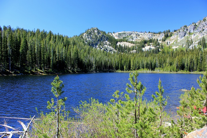
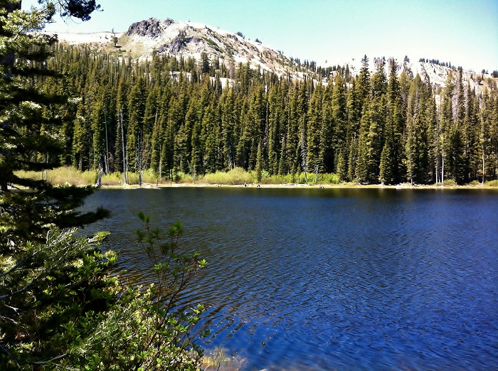
Skein Lake seemed to offer better fishing than Raft Lake.
We found at least a dozen people on our Saturday hike.
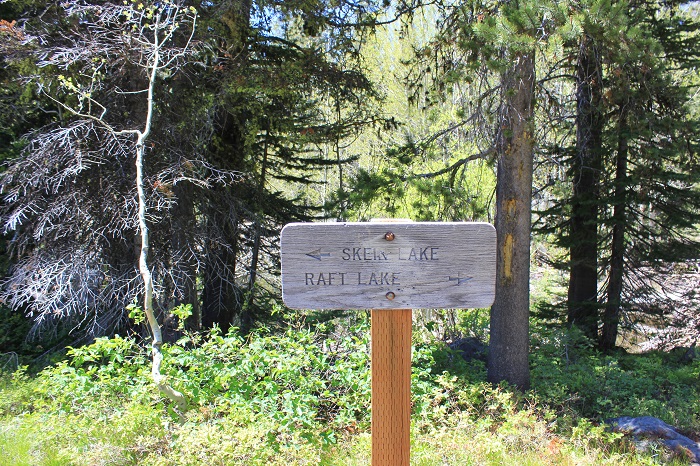
This sign marks the trail to Raft Lake. It's coordinates are:
N 44 28.691'
W 116 06.651'
N 44 28.691'
W 116 06.651'
There is a bit of a climb to Raft Lake but it is in general much gentler than the climb to Skein Lake.
It is almost a half mile to Raft Lake from the sign.
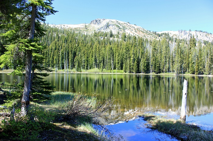
Raft Lake
Elevation: 7041 feet
N 44 28.835'
W 116 07.000'
Elevation: 7041 feet
N 44 28.835'
W 116 07.000'
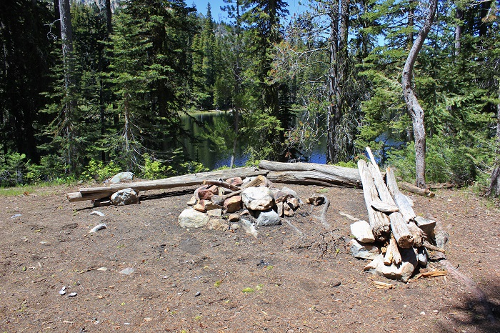
Someone went to the effort to create a very nice camp site.
For a view of the area check out this Google Map.
We tried to find this trailhead 2 weeks earlier by using the resources available online however google maps guided us into private property and we never found the right path. So, Terri and I paid a visit to the Boise Farmers Market where Scott Marchant has his booth. Scott offers four "Hiker's Guide" books. One of them includes the Skein and Raft Lakes hike. Following his directions we had no trouble find our way. I will refer to his "guides" often. If you are interested in looking into getting your own copy follow this link. Thanks Scott!
This information is accurate as of the date of the review.
← All Hiking