On July 18, 2016, I was camping in my Jayco trailer in a free campsite along the Iron Creek Road, a couple miles outside of Stanley, Idaho. My plan for the day was to make a day hike to Marshall Lake from the Redfish Trailhead. Because I wanted to take pictures of the hike, I didn’t leave in the dark. I got ready and drove to the trailhead, ready to hit the trail at 8:15 am.
If you are wondering how to get to the trailhead, checkout this GoogleMap. There is a good sized parking area and I found a spot. However, on a busy day you may not.
When I head out on a day hike I carry emergency supplies such as a lighter or two, an emergency blanket (one of those aluminum things), a compass, a small first aid kit, a flashlight, an extra battery and a few painkillers. I use a “Steripen” to sterilize my water and tend to carry some trail mix, Almond M&Ms and some dried fruit for lunch. I also have a one pound bag of jerky in case I get stuck overnight. To make my wife more comfortable, I carry a “Spot” which sends her my location regularly as I hike. My pack weighs about 5 to 8 lbs at the start.
The elevation at the parking area at Redfish Trailhead is 6580 feet. The highest point on the trail is 8020 feet, then you drop back to 7680 feet when you cross the stream below Marshall Lake. Your total elevation gain is something over 1780 feet. The round trip is about 9.4 miles.
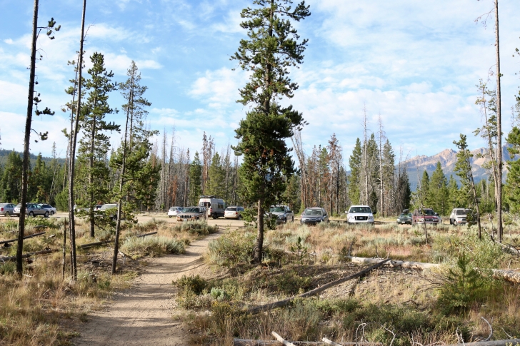
I have this horrible habit of being excited for the days hike and taking off without taking pictures. This is why I'm looking back at the parking area. This picture shows about half of the available parking space for Redfish Trailhead.

Here are the signs at the trailhead. Take a good look at the map so you know how to get where you are going.
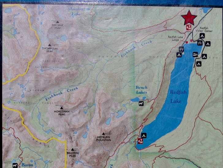
See the star? The trailhead is right where the red line of the trail and the gray line of the road meet. Can you find Marshall Lake at the top of the map? Just follow the trail from the trailhead to Marshall Lake on the map so you have a good idea of the path to follow.
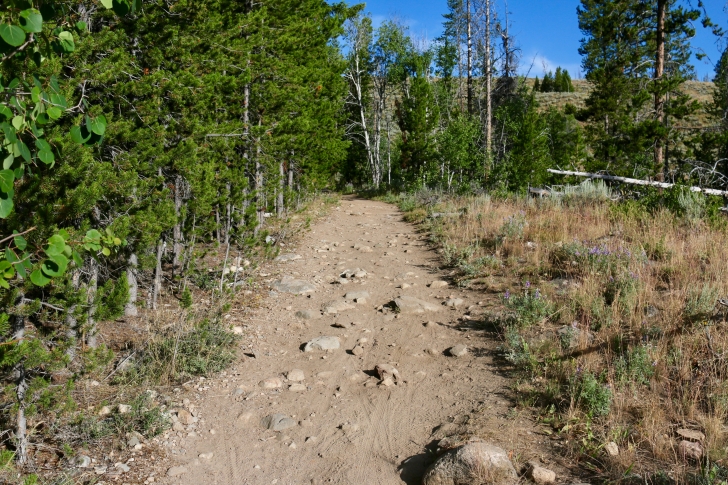
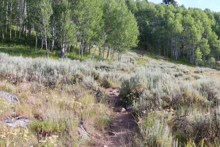
The trail starts out wide and rocky.
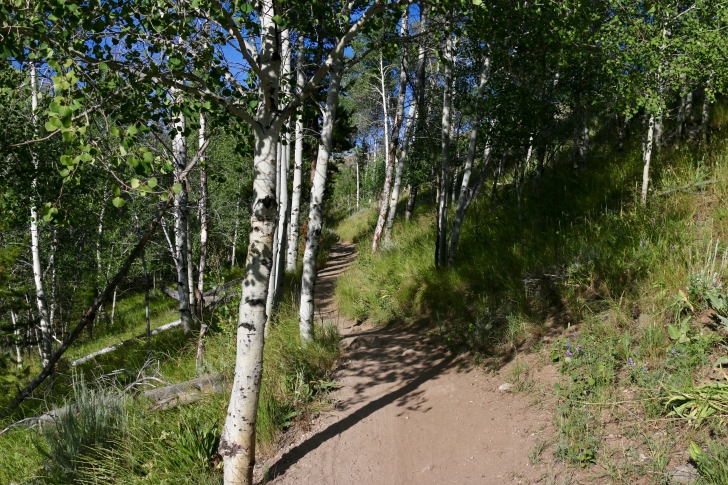
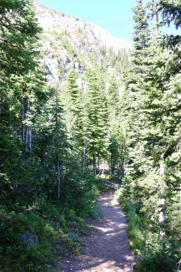
Soon the trail narrows as it crosses a hillside above Fishhook Creek.
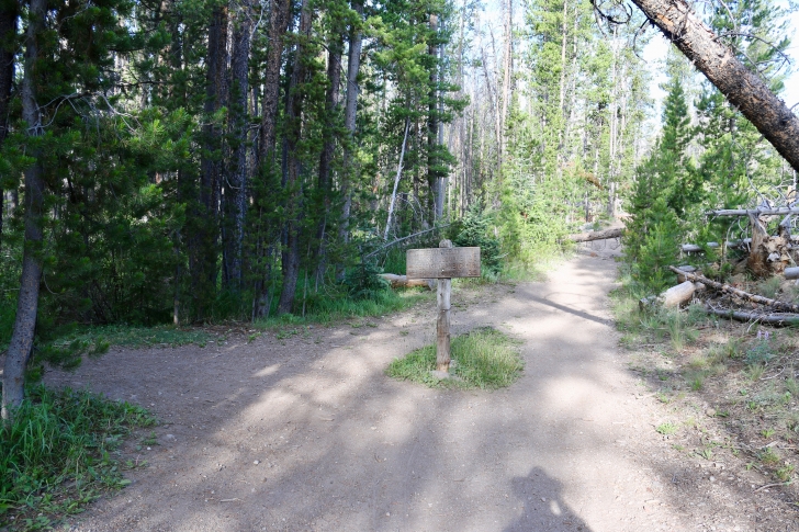
Here is the first junction in the trail you will come to. Turn left to Bench Lakes and straight ahead to Marshall Lake.
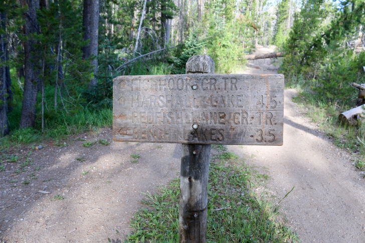
Here is a close up of the sign.
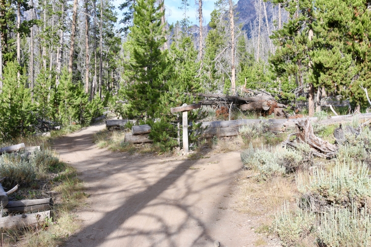
Here is the next junction. Straight ahead leads up the Fishhook Trail, but you will want to turn right to climb the ridge to the Alpine Way trail.
It's about a 400 foot elevation gain, and there are some nice views as you near the ridge top.
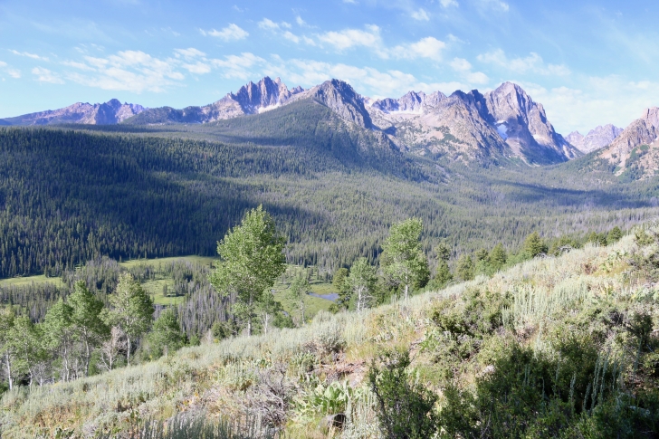
As you near the top of the ridge, you will pass the spot I took this picture from. That is Mt Heyburn on the left and Horstmann Peak on the right.

When you see this sign, turn left towards Marshall Lake.
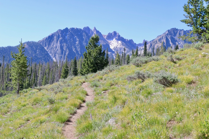
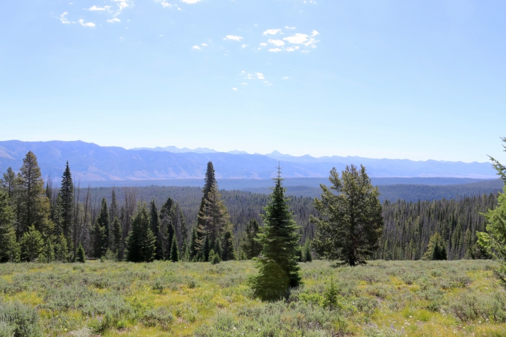
The trail follows the ridge for quite a ways, steadily gaining elevation. There are some great views to your left on this stretch of the trail.
One such view.
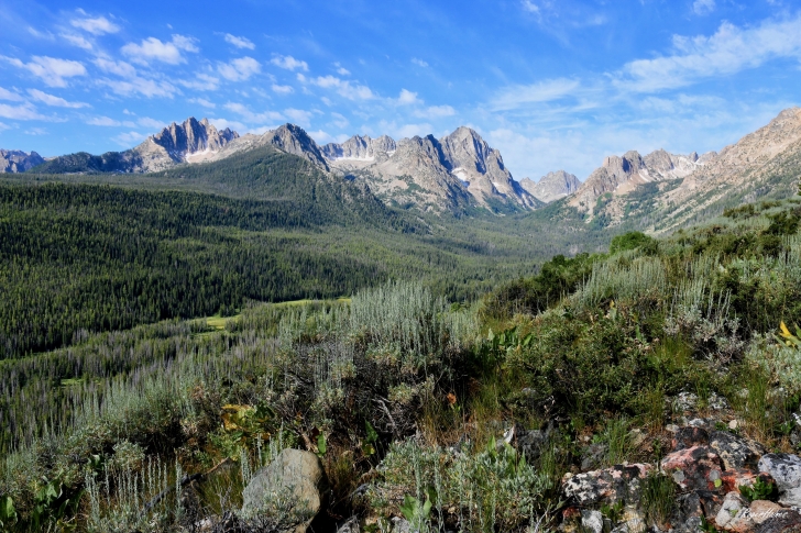
A picture taken from the Alpine Way trail of the Fishhook Creek basin with Mt Heyburn, Braxon Peak, Horstmann Peak and the southern edge of Thompson Peak in the Sawtooth Mountains.
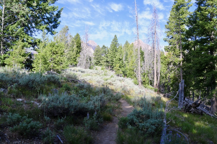
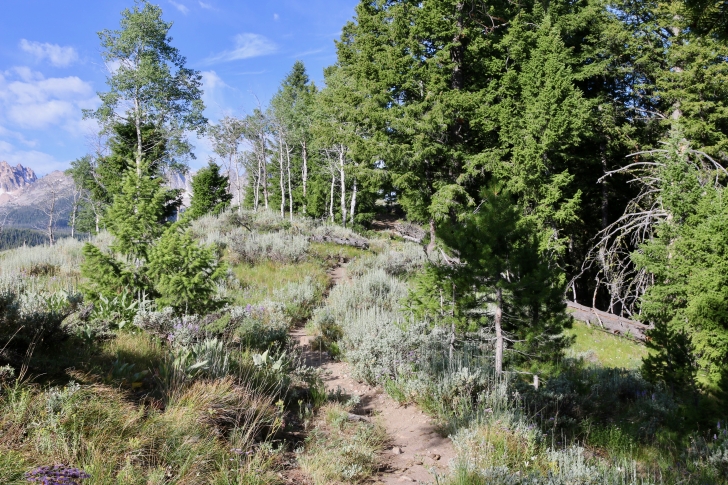
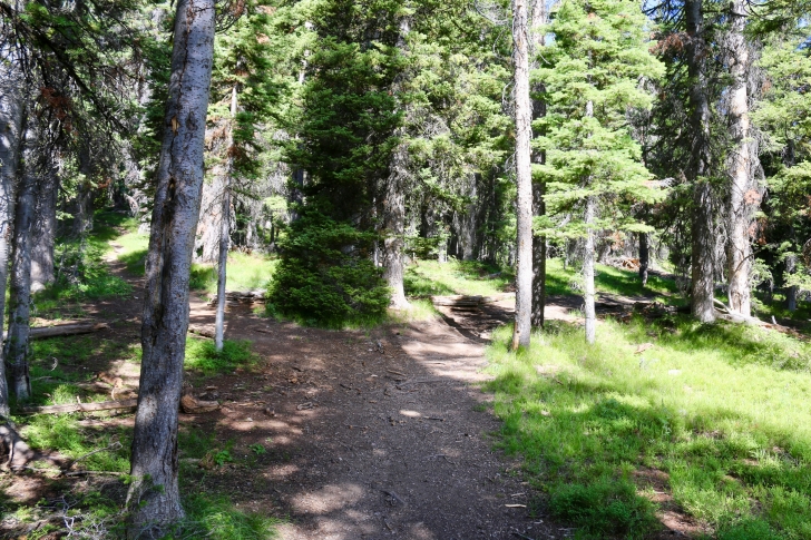
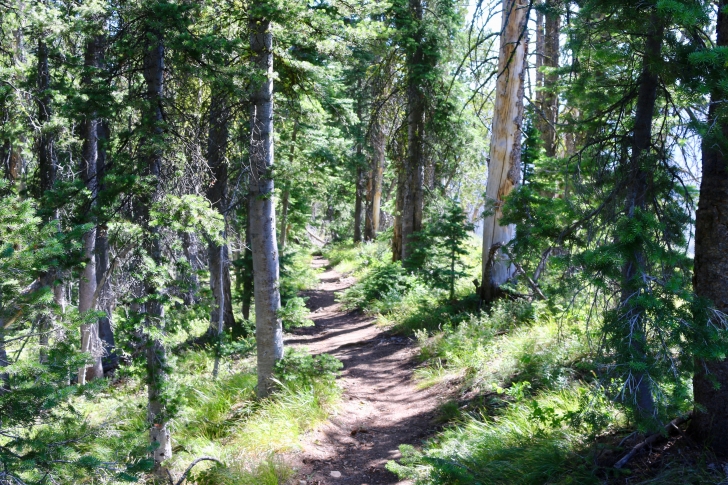
As you can see, the going here is quite comfortable.
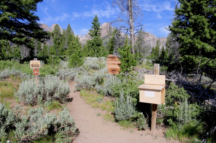
Soon you will see the Sawtooth Wilderness boundary and you will need to fill out your permit.
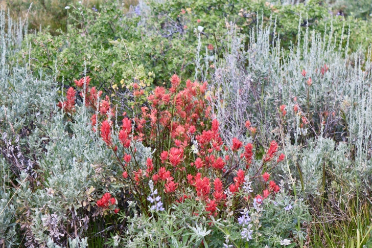
You will see a number of different wildflowers. One of my favorites is the Indian Paintbrush.
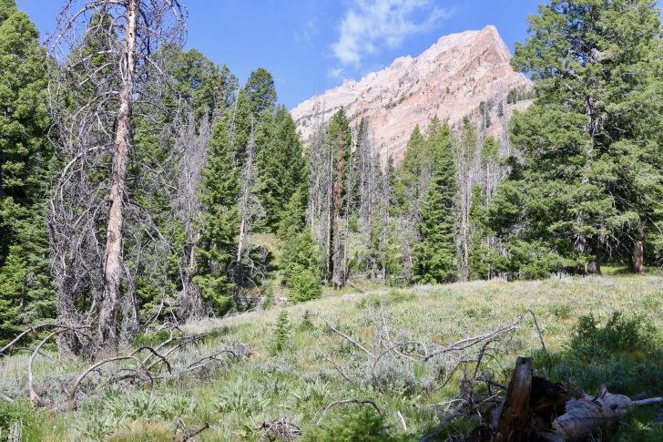
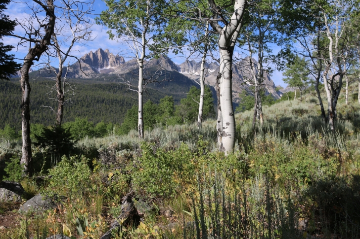
When I saw this I thought it had to be Williams Peak, however, it is actually the point of a side ridge of Williams Peak. Still, it looks pretty impressive.
Under a thick canopy of pine trees you will find another junction in the trail. Here a left takes you to the lake below Williams Peak, while turning to the right continues your trek to Marshall Lake. Someday I would like to take the left turn.
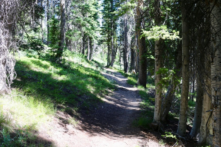
After the junction, the trail traverses the side of a hill and is very easy walking. You will emerge from the forest shortly and enjoy views to the east.
Check out the view behind you.
This is the view to the east.
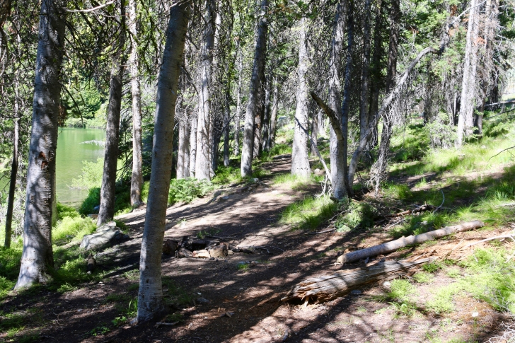
As you approach Marshall Lake, you enter the forest again and follow the trail down a ridge for a ways and will switch back a couple times.
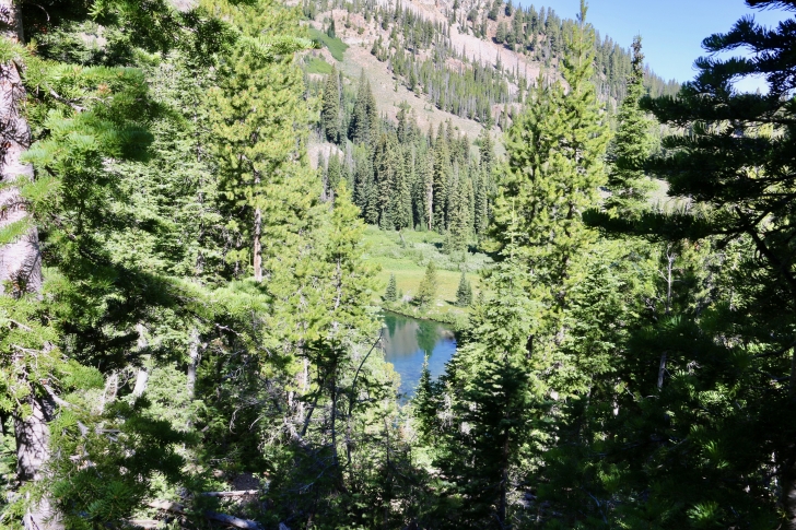
As you get lower on the slope, you will catch a glimpse of a pond near Marshall Lake. I have seen other pictures of it and it can be quite beautiful.
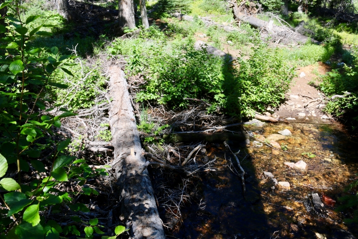
The trail crosses the creek below Marshall Lake, and I found a handy log to keep me dry.
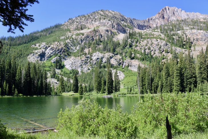
After you cross the creek, you find yet another fork in the trail. Turn left and you will soon find this view of Marshall Lake with Williams Peak in the background.
Here is one of the campsites at Marshall Lake. I headed to the clump of trees at the inlet stream but there were already campers there. To respect their privacy I didn't investigate further.
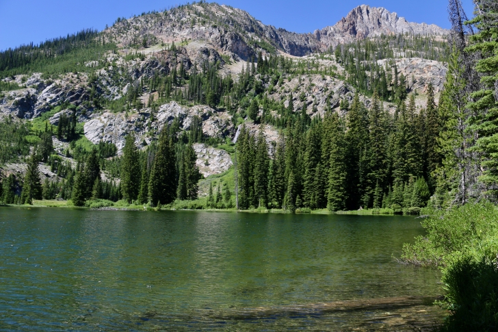
You can see Williams Peak in the background, and just below it is another lake. Do you see the waterfalls pretty much in the center of this photo? The water for the falls comes out of the upper lake. The upper lake is another 600 feet higher and there is no official trail to it. Someday I would love to make that climb.
I am always inspired when I see older folk out hiking. I talked to two Englishmen, one of which had to be 75 or a bit older. They found me at Marshall Lake and were discussing how they seemed to have missed their way. It sounded like they had meant to go to the lake below Williams Peak. Soon they took off, planning on finding that lake right then, no coming back on a different day after resting. I like to think that I could still be hiking another 20 years from now.