Photo Gallery

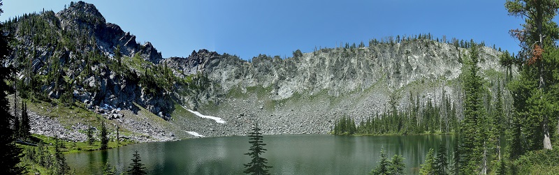
Review of the hike from Clayburn Trailhead to the Twin and Hard Butte Lakes.

I bought a trail guide from Scott Marchant called "The Hiker's Guide to McCall & Cascade". According to Scott this hike is 6.8 miles round trip and has a total elevation gain of 800 feet. The elevation along the trail ranges from 7300 to 7750 feet. This review in not meant to replace a guide book, it is meant to supplement it. I highly recommend purchasing your copy at hikingidaho.com.

Clayburn Trailhead is located about 32 miles NNW of McCall, Id. Here is a Google Map which leads to Hazard Lake. The trailhead is about 5 miles passed Hazard Lake however google maps shows the road ending long before the fork to Clayburn Trailhead. So after passsing Hazard Lake Campground keep going until you come to a fork where one fork goes straight and the other turns sharply to the right, about 3 miles. Take the left/straight ahead fork. The trailhead is at the end of this fork which is only a 1/2 mile.

Clayburn Trailhead

Here is a Google Map where you can see both the trailhead and Hard Butte. I tried to outline the trail but it didn't stick. As you can see in the coming pictures the trail is a four wheel road and this goes on for the first 2 miles.

Notice the outhouse at the far end of the parking lot. It has been taking some damage from the weather and animals but was completely useable.

There are many wildflowers along the route.

Much of the first 2 miles has burned several years ago and is very open. Make sure you come prepared for a lot of sunshine.

Much of the first 2 miles has burned several years ago and is very open. Make sure you come prepared for a lot of sunshine.

The peak on the left is Hard Butte.

Looking south.

At about 2 miles you come to a fork, take the right one.

The four wheeler trail goes on the left to Rainbow Lake but today you will want to stay right.

Soon you will find find this spot, the trail to the right is Elk Lake Trail. We need to work our way around the timber which has fallen across our trail leading straight up the hill.

This is about as steep as it gets.

Kevin left us in his dust. If you keep watching to the right you can see the lower of the Twin Lakes off to the right of the trail.

This is the last fork in the trail. Ahead is the upper and much larger of the Twin Lakes. To the left a quarter of a mile is Hard Butte Lake. We passed three fisherman at about this point with several beautiful trout.

Twin Lake as seen near the outlet stream.

I took this picture on the hill to the west of Upper Twin Lake looking toward Hard Butte.

This panoramic view of Hard Butte Lake doesn't capture the size of the butte correctly. You will need to look at it for yourself. :)

A picture from our review of the hike to Hard Butte Lake near McCall, Idaho.