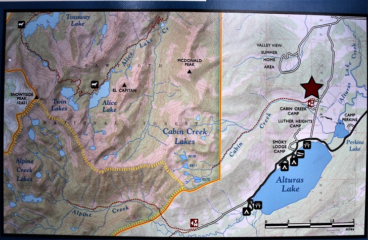
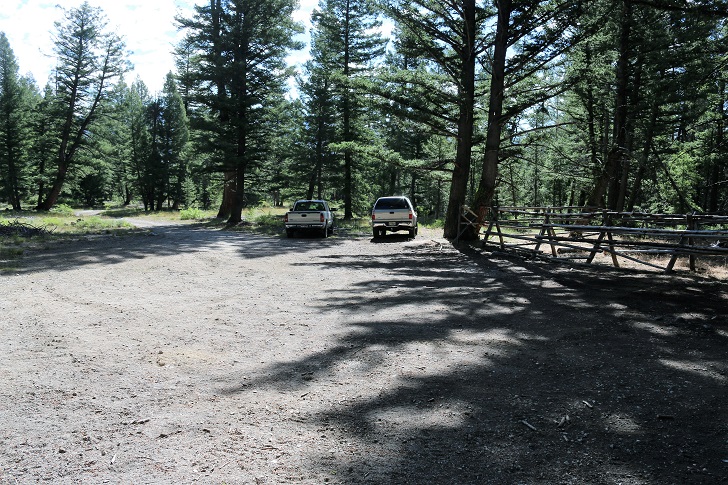
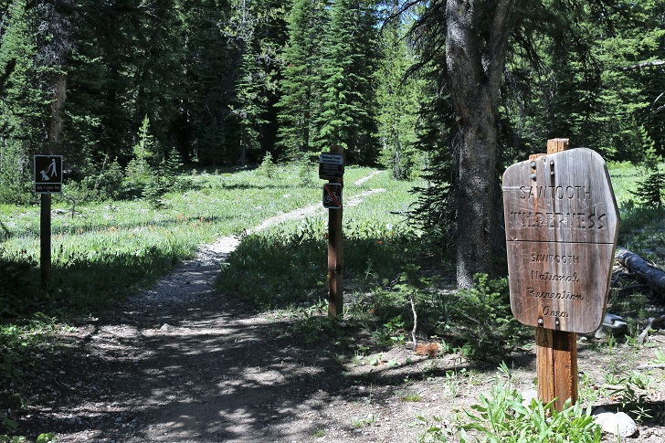
Cabin Creek is located in the Sawtooth Mountains about 20 miles south of Stanley, Idaho. There are five lakes located on the upper end of Cabin Creek. I hiked to the main lake and the upper lake but you will see a couple more in the distance. The hike is strenuous at least for an old guy like me but steady. The elevation at Cabin Creeek trailhead is about 7160 feet while the upper lake sits at 9078 feet. It is 3.4 miles from the trailhead to the main lake and another .3 to the upper lake. To reach the trailhead travel south on Highway 75 for 19.4 miles to a right turn onto Cabin Creek Rd. In 1.2 miles you will turn left to stay on Cabin Creek Rd and proceed another 1.8 miles to a right turn on to Forest Rd 439. In .3 miles you will reach Cabin Creek Trailhead. For details check out this Google Map. Picture 1: I have included a couple pictures of the sign at the trailhead for your infomation. There is a parking area for your auto. Park and head to the sign where you will find the trail. By the way, there is a pole corral for stock available.
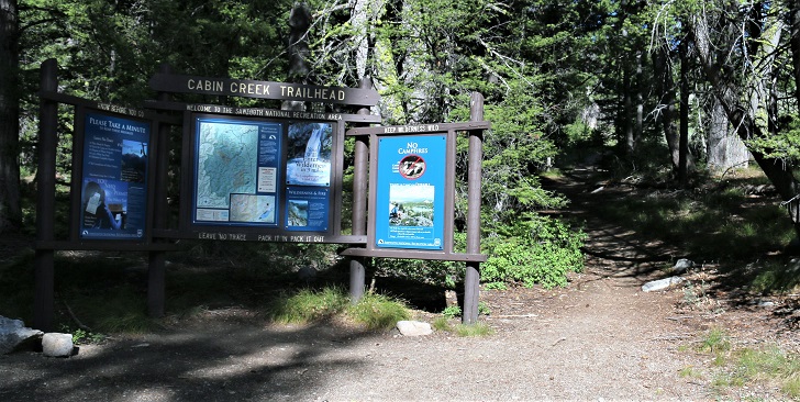
There is pleanty of parking for the traffic at this trailhead.
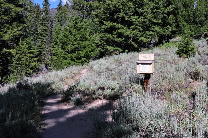
You will need to get your wilderness permit here.
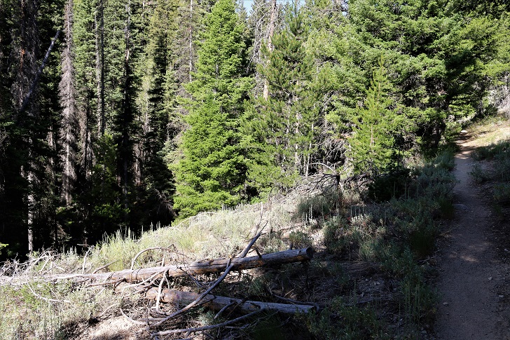
Cabin Creek is to your left the entire way. Here in the lower part of the trail I thought the creek looked like the fishing might be quite good.
This sign marks your entrance to the Sawtooth Wilderness Area.
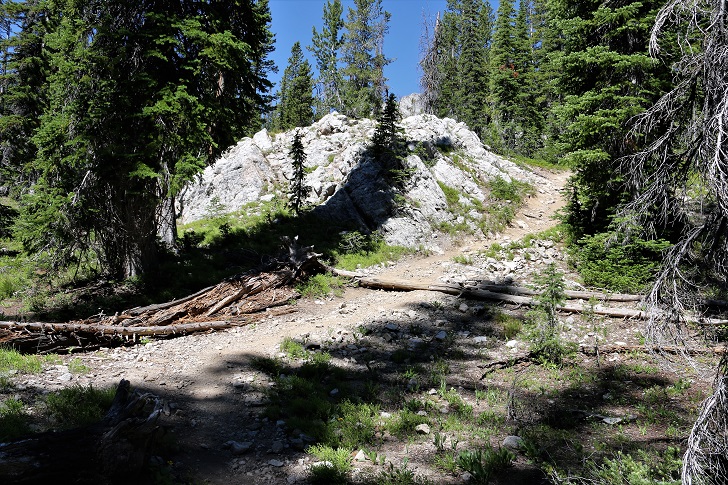
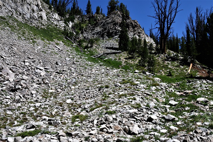
As you get near the top the trail gets a bit steeper. When you see this spot you are near the main lake.
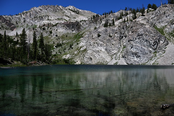
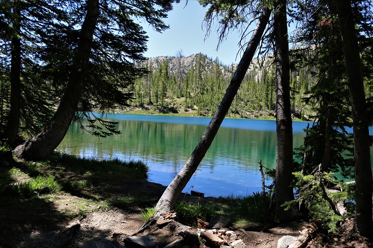
I took this picture of Cabin Creek Lake near the outlet stream. Many people can imagine the face of a dog in the cliffs, can you see it?
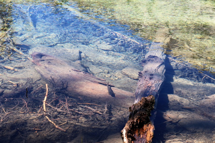
The fish here seemed to be attracted to me. I wonder if people have beeen feeding them scraps?
I loved this campsite, it is in some mature trees close to the cliffs.
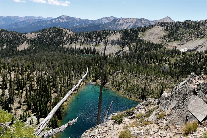
The trail to the upper lake leads up hill just to the right of this view. The upper lake is 269 feet higher than the main lake but the view from the top of the cliffs is fabulous!
I sat up here for quite awhile enjoying this view. That is Cabin Creek Lake below and you can see 2 smaller lakes one to the middle right and another in the center of this picture.
Upper Cabin Creek Lake, so pretty!
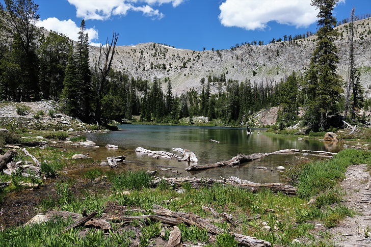
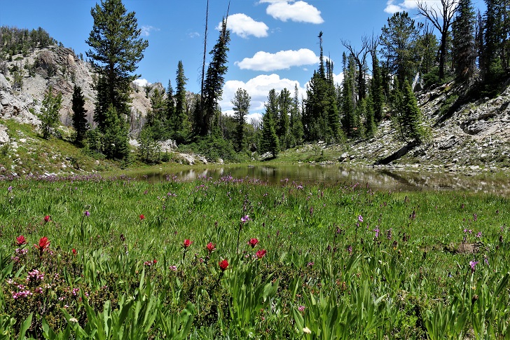
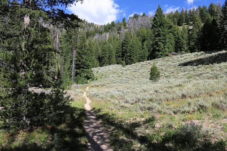
There are many wildflowers along the entire hike from the trailhead to this meadow by Upper Cabin Creek Lake.