

The parking can be hard to find on a busy summer weekend. If this is full one can go to the equine trailhead but it adds about a half mile to the hike.
It is always wise to make a stop here before hitting the trail.
The first thing you come to leaving the parking lot is a group of information signs.
This map is part of that information. If you haven't bothered to review a map for the hike please do so here.
At Farley Lake we found a camp site easily even though there were several parties camped around the lake. That is Parks Peak across the lake. It's 4.8 miles from the trailhead to our camp about halfway up Farley Lake and the elevation is about 7800 feet.
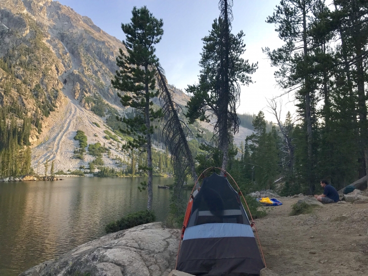
Sunrise at Farley Lake.
As you get close to Toxaway Lake you will pass a couple smaller lakes. Bowknot Lake was very picturesque!
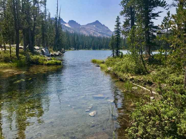
As you arrive at Toxaway Lake the trail rides high on the western shore. You will find several side trails which lead down to the lake and i am sure there are many campsites which we didn't look at. We continued on most of the way around the lake before picking our site. This is the view looking back down the length of the lake.
Looking on up the lake toward Snowyside Peak. Our campsite was about 12.8 miles from Tin Cup Hiker's trailhead and sits a little below 8400 feet in elevation.
This is my favorite view of Toxaway Lake with the sun setting and the White Cloud Mountain in the distance.
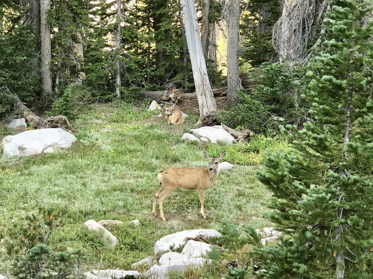
As you start the climb from Toxaway to Snowyside Pass you climb past some pretty cool waterfalls and just above them we found a couple new friends relaxing along the trail.
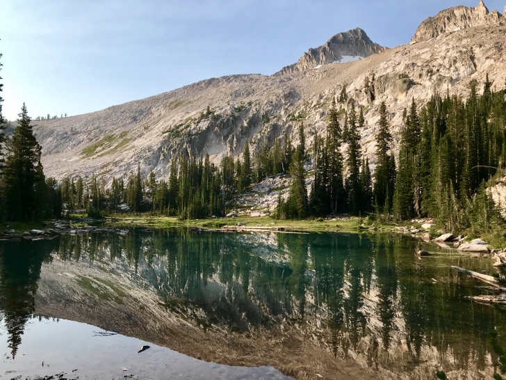
Something like halfway up the hill from Toxaway to Snowyside Pass you will pass this small lake. The wind was calm which made for a great reflection in the lake.
I love the wildflowers!
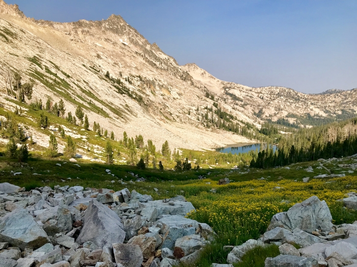
This view is from Snowyside Pass looking back toward Toxaway Lake. The distance from Tin Cup Hiker's Trailhead to this point is 17.7 miles and at this point your elevation is about 9440 feet.