

Alice Lake is one of the most visited sites in the Sawtooth Mountains and for good reason. It is one of the most beautiful sites in the Sawtooth Mountains. I can't say which place is the most beautiful because each year I think I have found a new spot that is more beautiful than the ones before. To get to the trailhead travel south on Hwy 75 from Stanley, Idaho for 18 miles and turn right onto Forest Rd 208. See this Google Map for detailed instructions from Stanley.
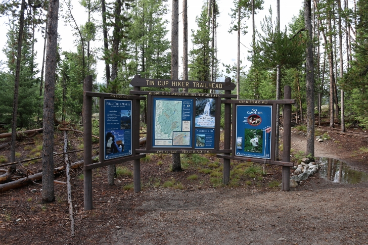
The elevation at Tin Cup "Hikers" Trailhead is just over 7000 feet. I mention "Hikers" trailhead because there is a horses trailhead also.
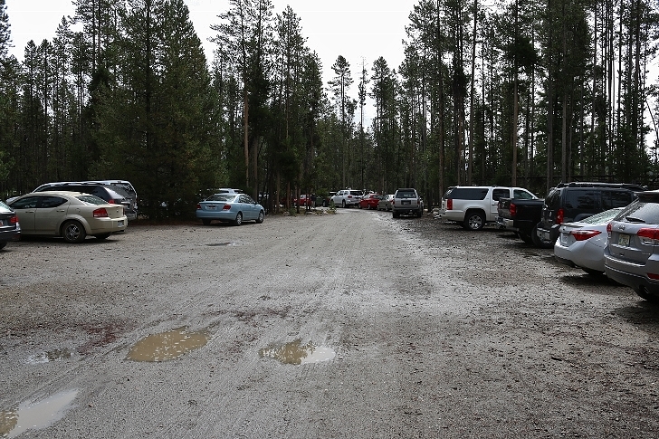
From the looks of the parking area there should be plenty however it fills up to overflowing on busy weekends.
It's a wise idea to use the "facilities" before hitting the trail.
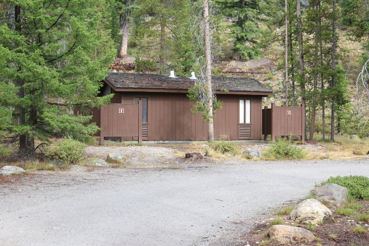
From the restrooms take this trail to the trailhead signs.
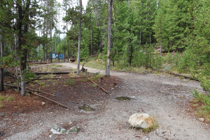
Check it out.
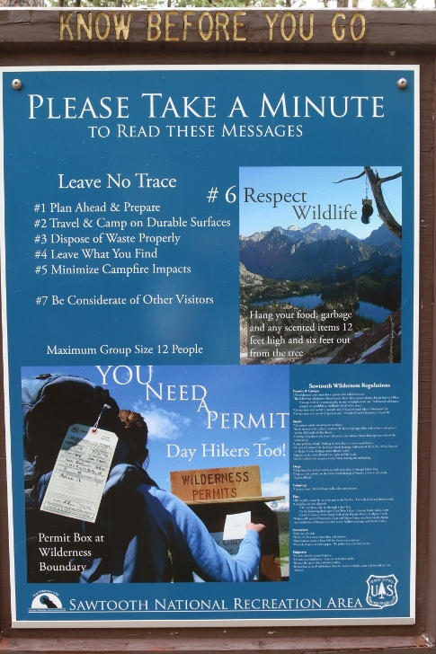
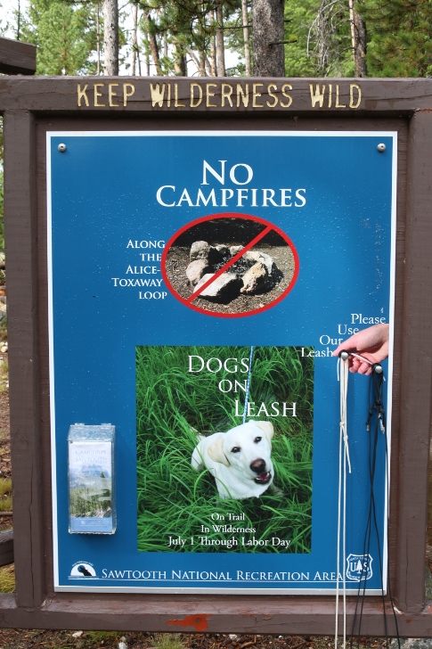
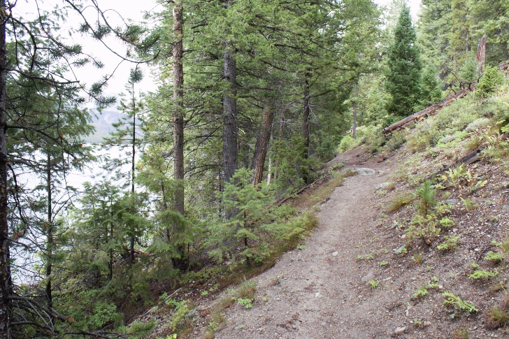
The trail follows the north shore of Pettit Lake for the first mile so it's mostly level and easy walking.
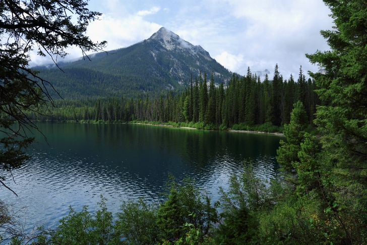
One nice view near the end of Pettit Lake.
Not to far passed the end of the lake you will find the wilderness boundary. Here you will need to sign in and take your permit.
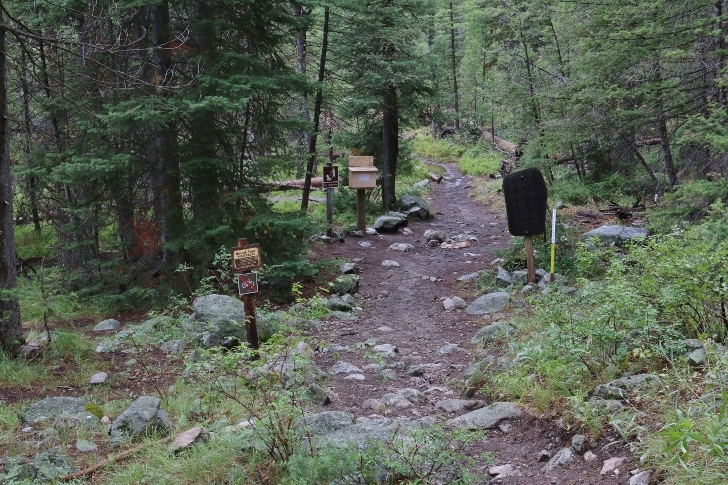
In the first 2.8 miles you will only gain 200 feet in elevation. There were 3 or 4 "bridges" like this one.
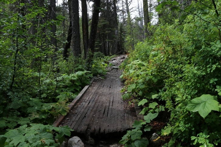
Nearing the end of this stretch of the trail you will pass this pretty waterfall.
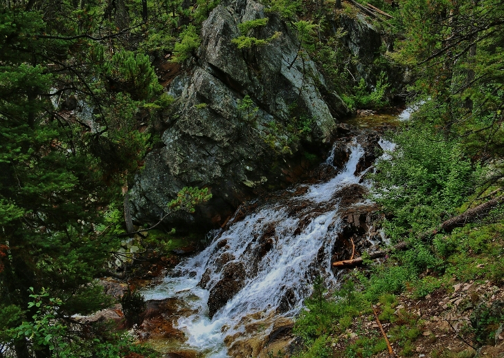
The mountains will have grown quite tall on both sides of the valley at this point and you will start climbing. During the next 1.7 miles the trail works its way up a 1000 feet in elevation along the north side of the main valley and into the valley that Alice Lake lays.
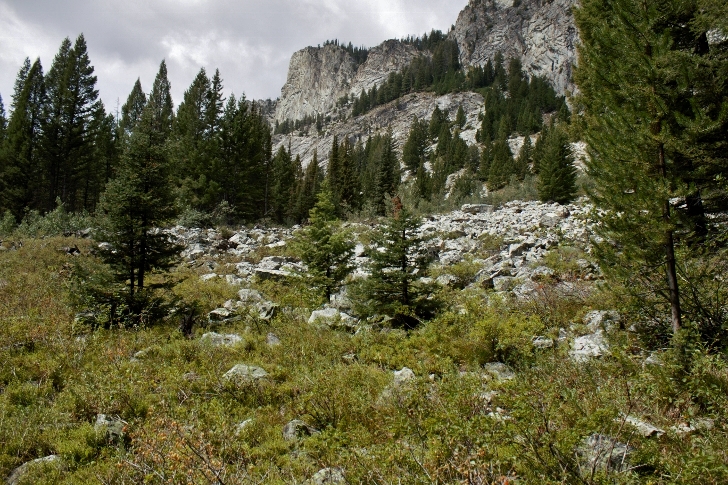
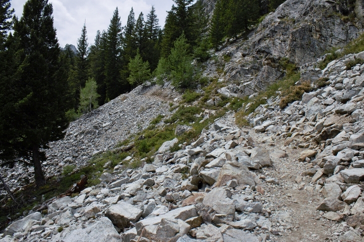
If you are anywhere near as tired as I was at this point take heart because the main climb is behind you.
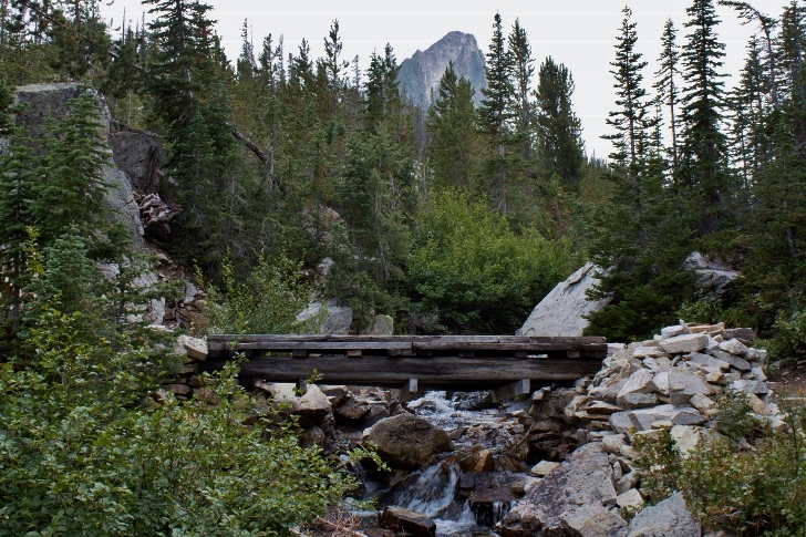
Looking back
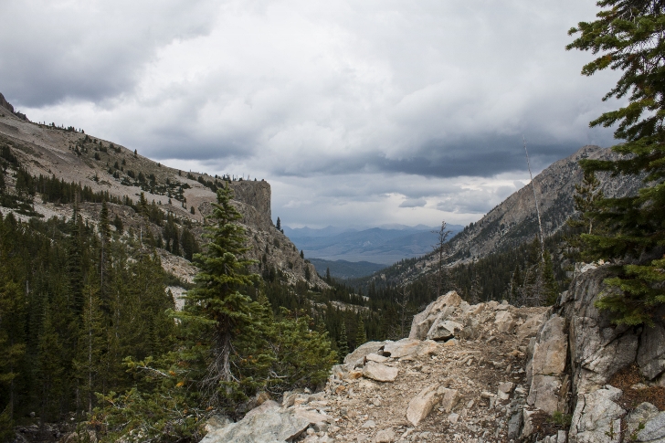
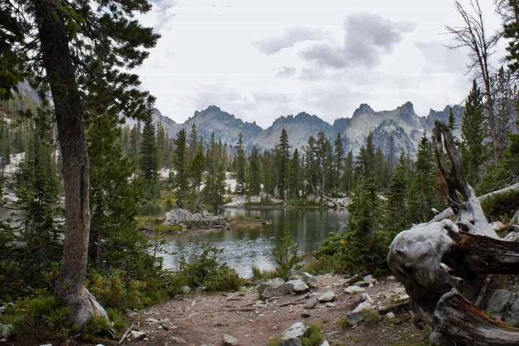
There are 2 ponds below Alice Lake and they can be quite picturesque.
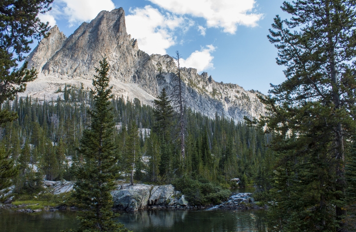
El Capitan, 9901 feet.
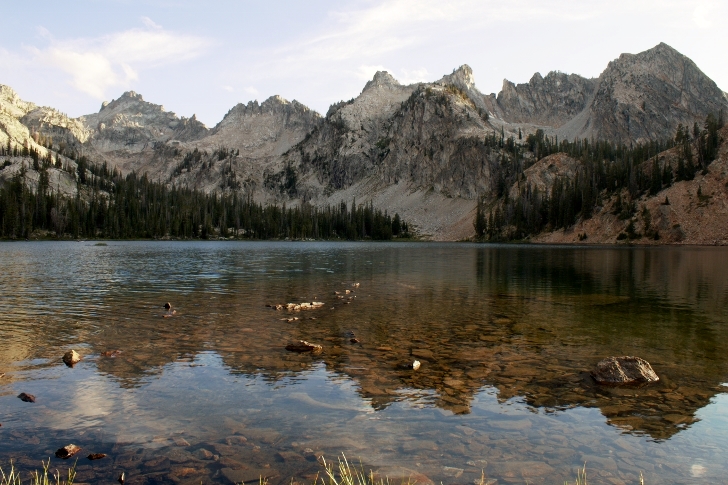
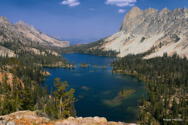
Alice Lake!
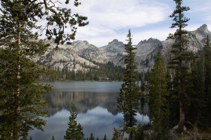
There is a line of extremely jagged peaks along the south shore of Alice Lake. The elevation here is 8600 feet and this trip was the only time I have ever gotten altitude sickness. I'm guessing I didn't drink enough on the hike in.
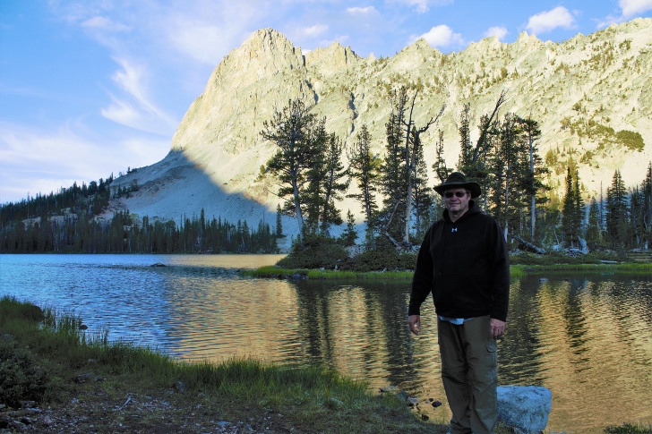
I had to throw in a selfie!
Alice Lake from the cliffs on the west end of the lake.
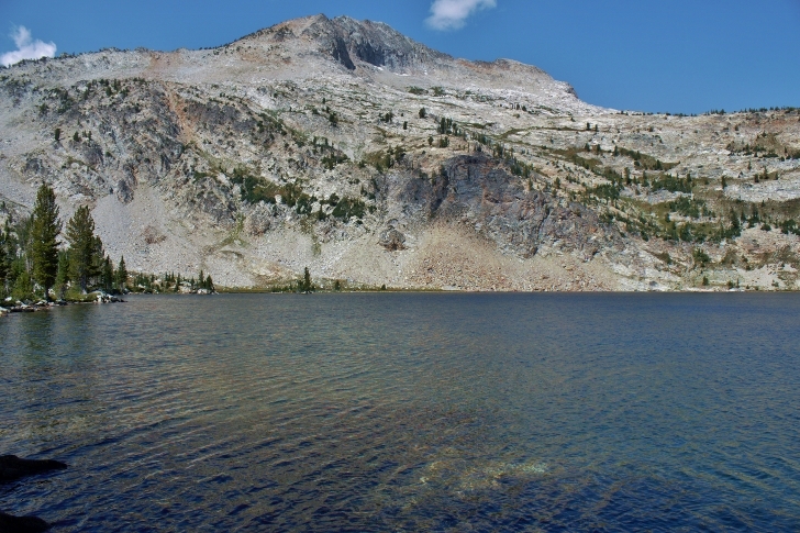
Snowyside Peak as seen from the lower of Twin Lakes.
I took the one mile hike the following morning to visit the Twin Lakes. I think the lower lake is far prettier.
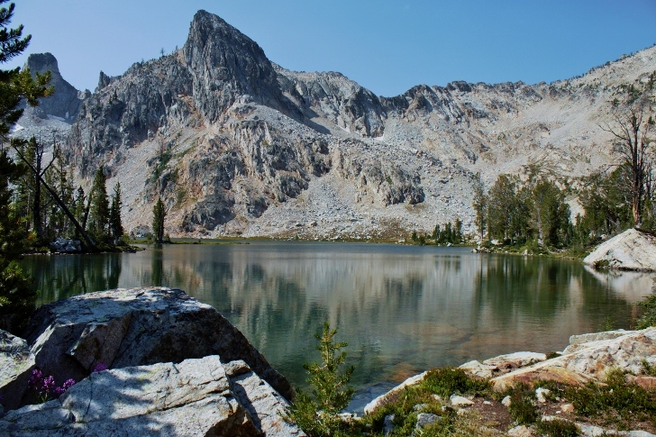
10,651 foot Snowyside Peak towers above the upper of the Twin Lakes.
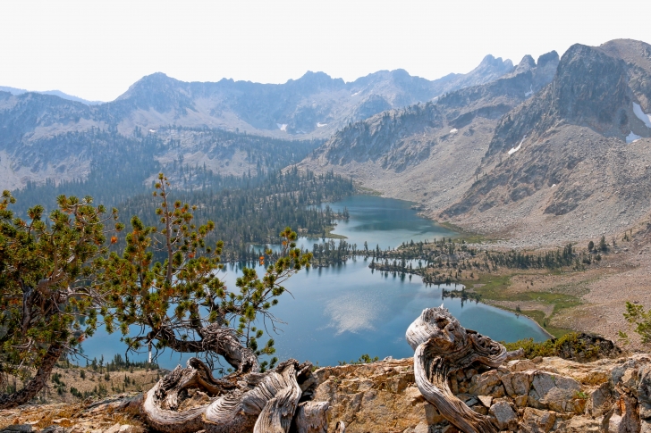
An amazing view of Twin Lakes from the pass below Snowyside Peak.
Just a word of caution. I turned 58 the week I took this hike and was 40 pounds overweight and was carrying a 40 pound backpack. I thought I was pretty much ready after spending an hour per day on my treadmill for 3 months before this trip. I wasn't ready, I was sick for nearly a day after the hike in. I do believe it was partly altitude sickness and partly not properly conditioned. Sadly I abandon my plans to go on to Toxaway Lake and points beyond. If you are older and overweight I encourage you to lose weight and prepare longer. This area is so very beautiful, the memories will be well worth the effort. As I write this review in February I am already dieting and walking on my treadmill. I am planning to visit Imogene Lake. See you there. I have continued to hike and my son Kevin and I made the Toxaway / Alice Lakes loop in 2018. This view from Snowyside Pass is amazing. Check out my review of the Toxaway Lake hike for the other half of the loop.