
Campgrounds
358 campgrounds
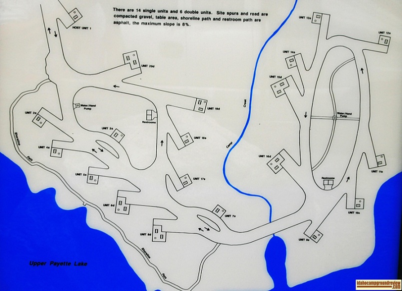
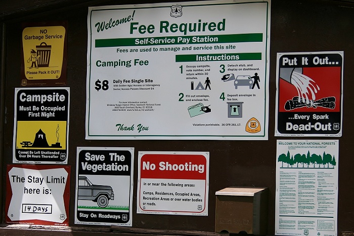
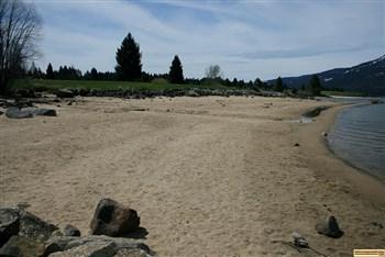
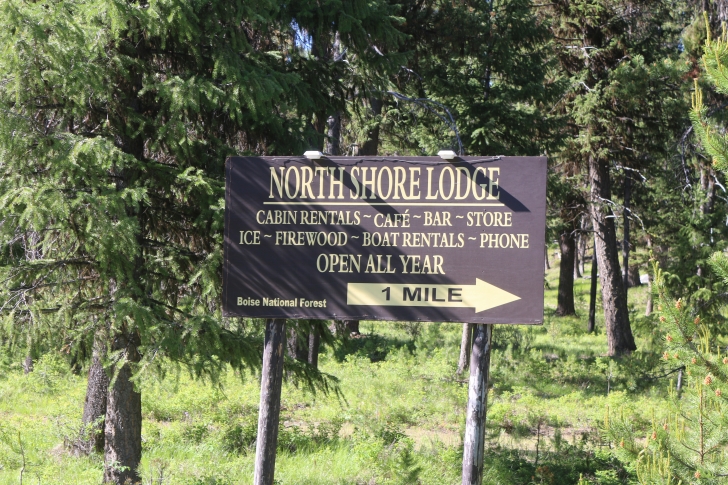
Upper Payette Lake Campground
Upper Payette Lake Campground is set on the western shore of Upper Payette Lake with Cougar Creek splitting the campg...
Upper Penstemon Campground
Upper Penstemon Campground is only .3 mile upstream from Lower Penstemon Campground. It is set on a gentle forested ...
Valley of the Rogue State Park
The Valley of the Rogue State Park is sandwiched between Interstate 5 and the Rogue River in SW Oregon. It sits on mo...
Van Wyck Campground
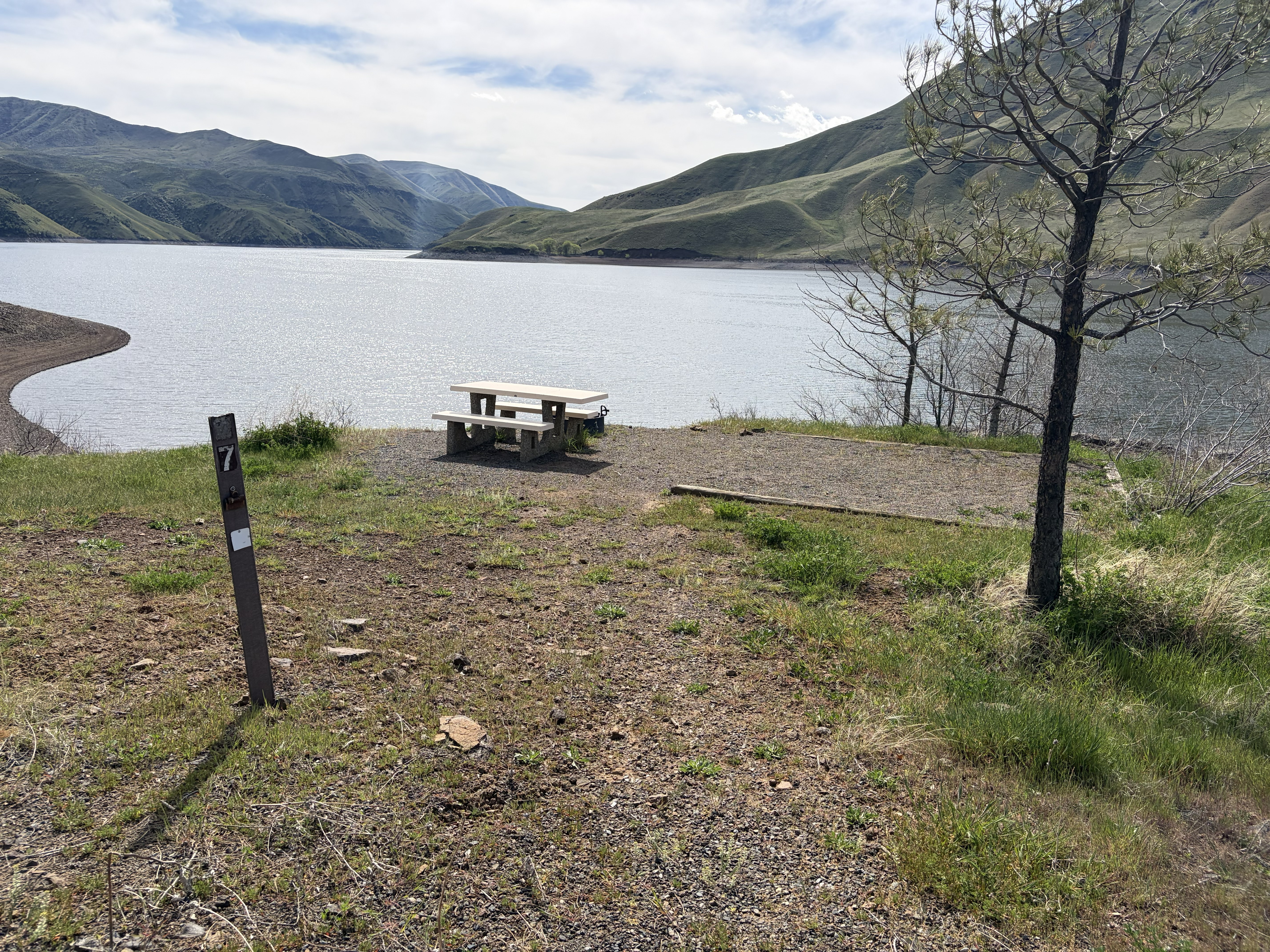
Van Wyck Campground is part of the Lake Cascade State Park and is located on Cascade Lake on the edge of Cascade, Ida...
Warm Lake Campground
Warm Lake is about one and a half miles long and a half mile wide with an elevation of almost 5300 feet. Warm Lake Ca...
Warm River Campground
Warm River Campground is situated on flat land along Warm River. It is a park like setting with mowed lawns and a mix...
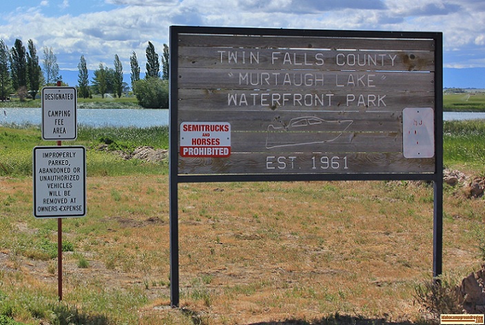
Waterfront Park
Waterfront Park is set on Murtaugh Lake east of Twin Falls. It is an older park with mature trees and lawn. It has be...
Wendover Campground
Wendover Campground is situated on the flat land beside the Lochsa River in a beautiful, mature forest. There is moss...
West Mountain Campground
West Mountain Campground is located on the western shore of Cascade Lake with West Mountain almost directly to the we...
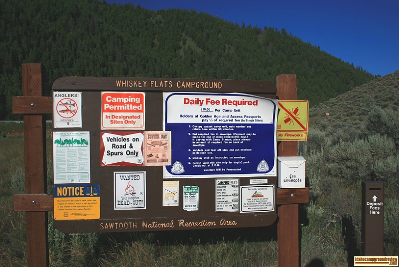
Whiskey Flats Campground
Whiskey Flats Campground is on the north bank of the Salmon River between Stanley and Challis, Idaho. The mountain to...
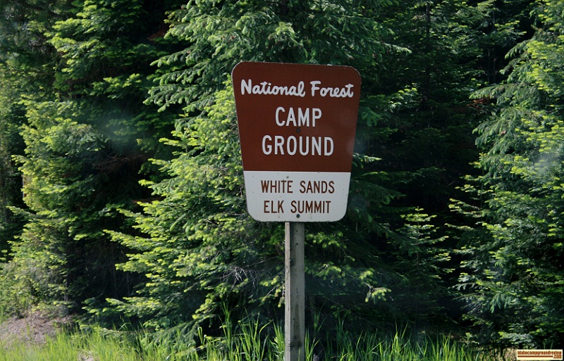
White Sands Campground
White Sands Campground is set along the upper Lochsa River and a small lake. It is only about one mile south of Hwy 1...
Whitehorse Park
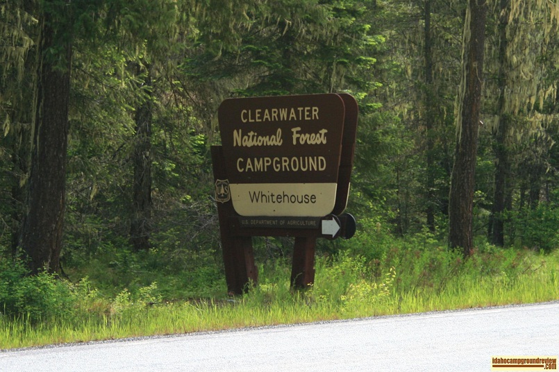
Whitehouse Campground
Whitehouse Campground is on the Lochsa River in the Clearwater National Forest. This country is heavily forested and ...
Whoop-um-up Campground
Whoop-um-up Campground is located on Highway 21 north of Idaho City on the Ponderosa Pine Scenic Route. It is named f...
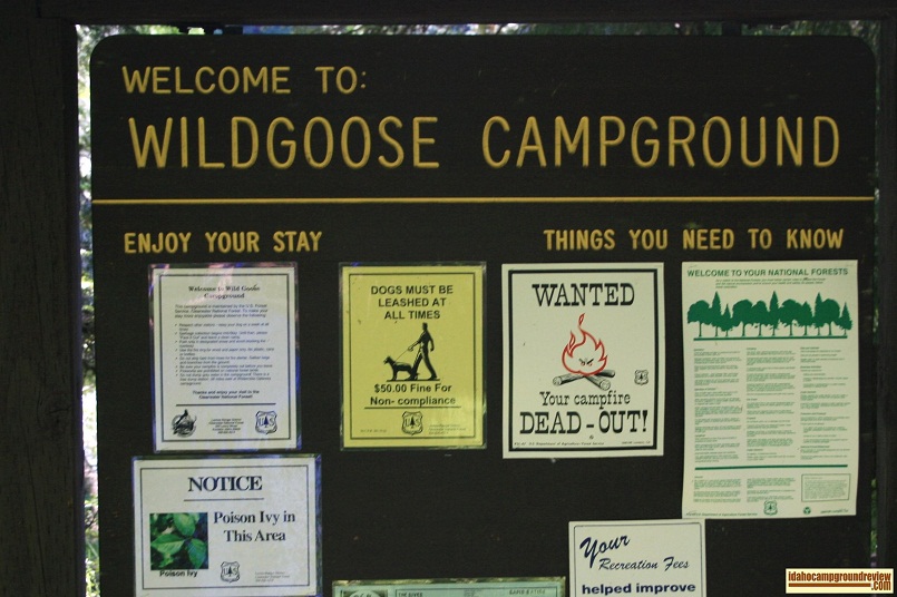
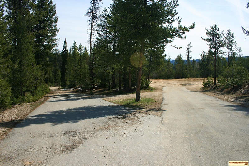
Wild Goose Campground
Wild Goose Campground is located on the north bank of the West Fork of the Clearwater River in the Clearwater Nationa...
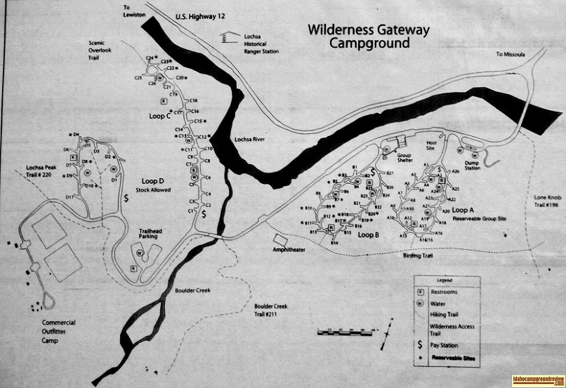
Wilderness Gateway Campground
Wilderness Gateway Campground is on the Lochsa River where Boulder Creek joins the river. The Selway-Bitterroot Wilde...
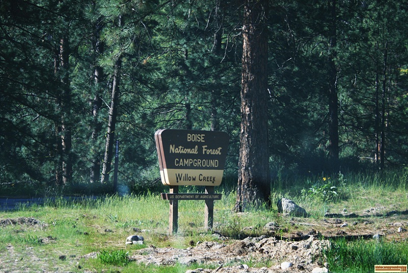
Willow Creek Campground
We really liked this campground. It is a 9 unit campground along the Boise River. This campground is surrounded wit...

Willow Creek Campground
Willow Creek Campground in the Sawtooth National Forest is very small having only 3 campsites. It is situated across ...
Willow Creek Transfer Camp
Willow Creek Transfer Camp is located on Willow Creek to provide access to Trail #018. The Camp is on fairly flat lan...
Windy Hill Recreation Site
Windy Hill Recreation Site is set on some hills on the southern shore of Roosevelt Lake NE of Phoenix, AZ. Windy Hill...
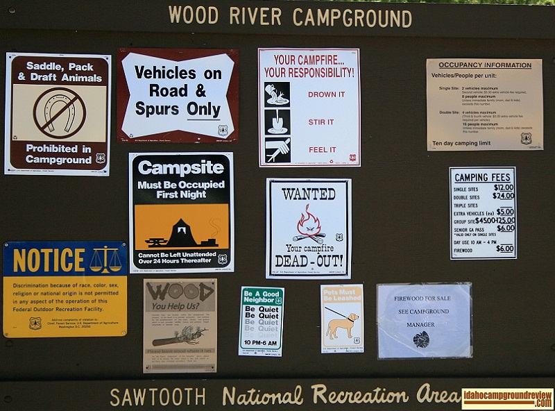
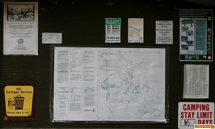
Wood River Campground
Wood River Campground is set in the heavily forested Big Wood River valley about 10 miles north of Ketchum / Sun Vall...
Woodhead Park
Woodhead Park is an Idaho Power recreational facility located on Brownlee Reservoir a few miles above Brownlee Dam. W...