I use a Gregory Baltoro 75 backpack and have found it to fit better and make the load feel lighter.
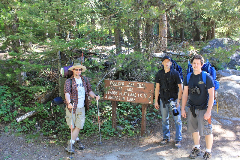
This is the sign at the trailhead on the north end of Boulder Creek Reservoir Dam. The coordinates are N 44 degrees 52.171' by W 115 degrees 58.233' and the elevation is 6094 feet. To get to the trailhead follow this GoogleMap from McCall.
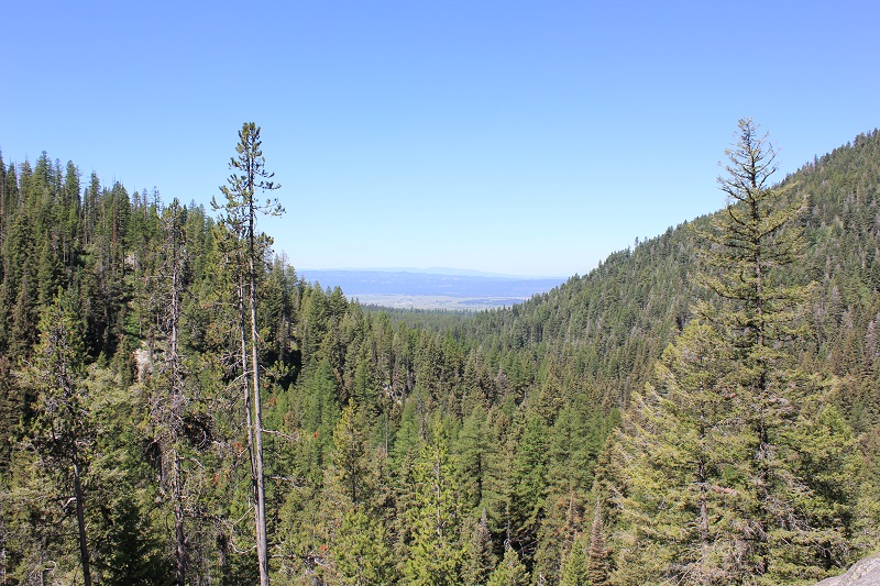
This is a view of Boulder Creek Reservoir from the east end.
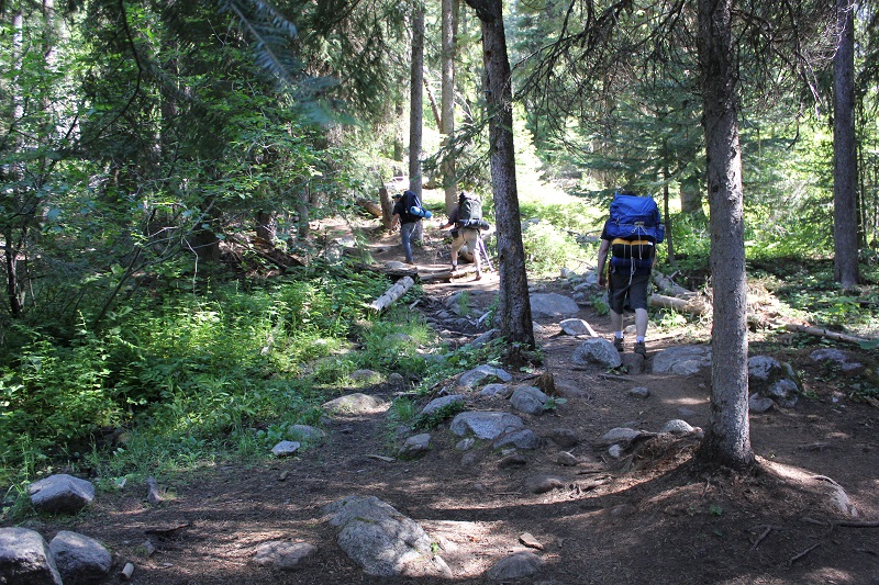
It is an easy hike along Boulder Creek Reservoir but starts to climb as you leave the reservoir. My son is wearing my 1975 era backpack in this picture. Poor boy, it's not exactly comfortable.
About two thirds of the way up you will find a large rock which serves as a great view point.
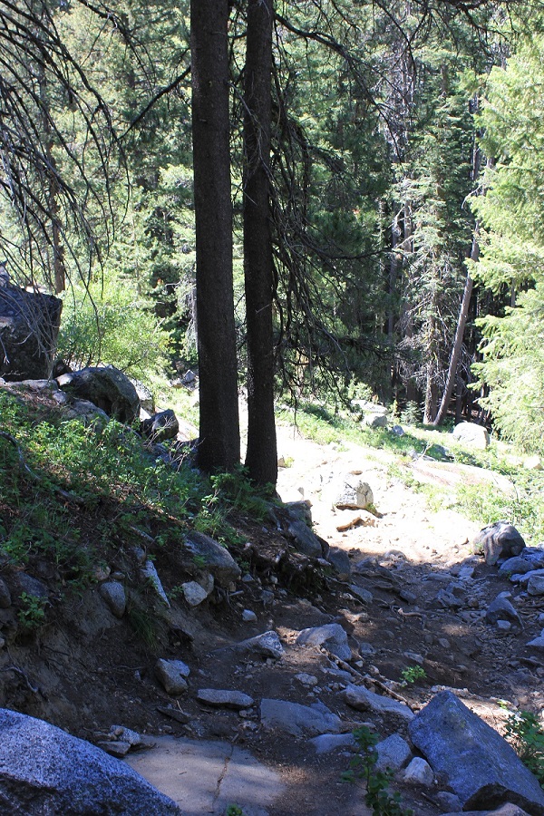
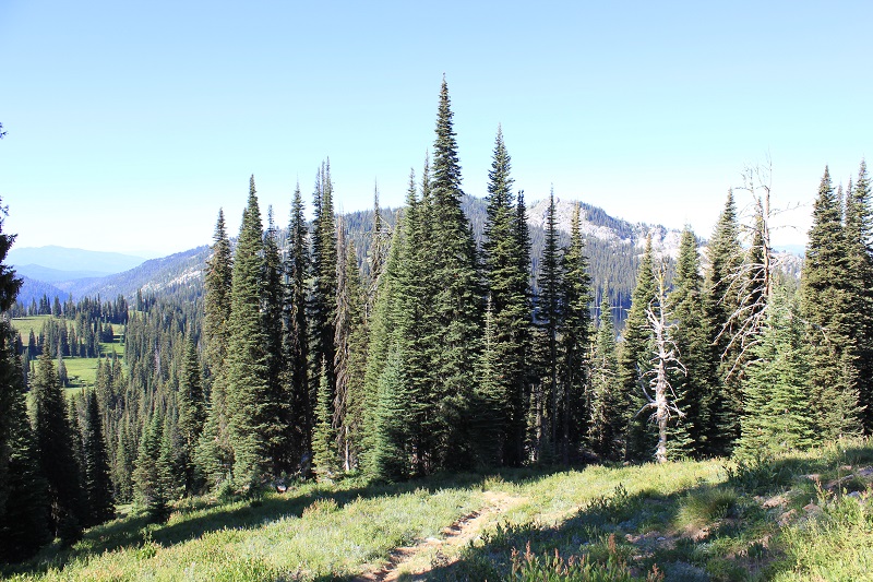
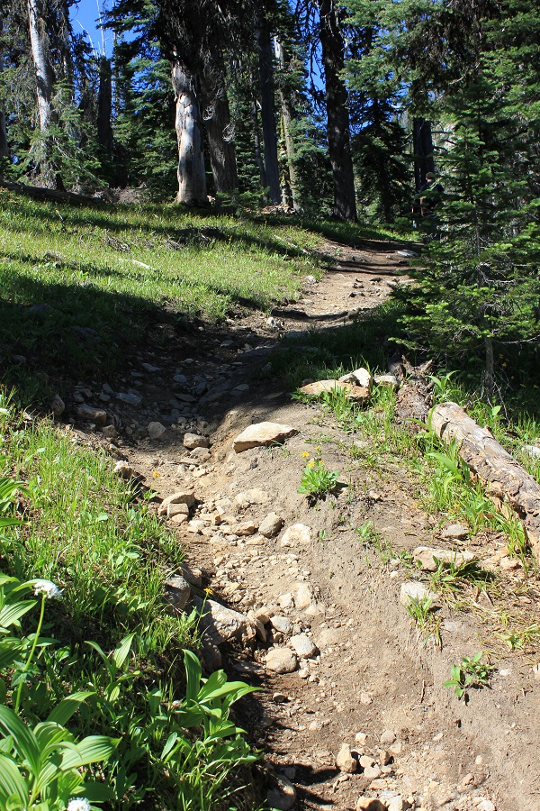
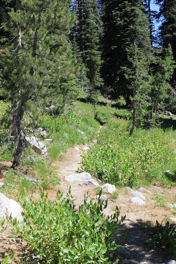
It is a rock strewn trail from there up.
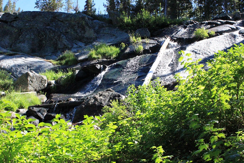
Soon after you will see and hear the creek as it cascades down the rocks.
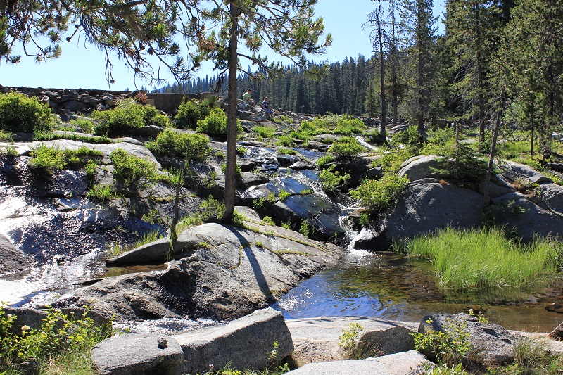
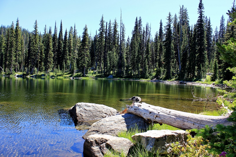
This is a small bit of the stream with the historic dam beyond.
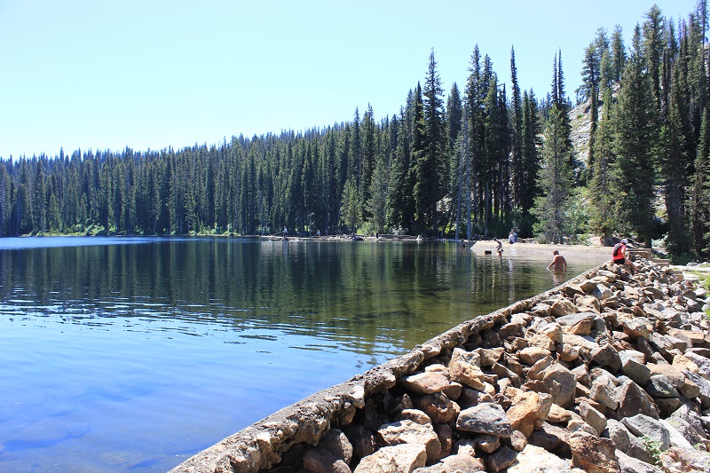
There were a lot of hikers that came here for the hike and to swim in the lake. Coordinates are N 44 degrees 52.085' by W 115 degrees 56.805' and the elevation is 6993 feet. That means you gain 899 feet from the trailhead.
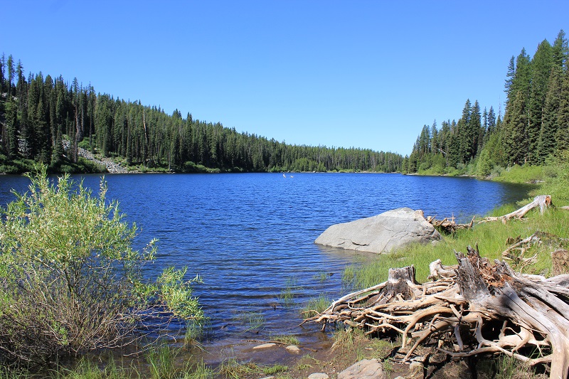
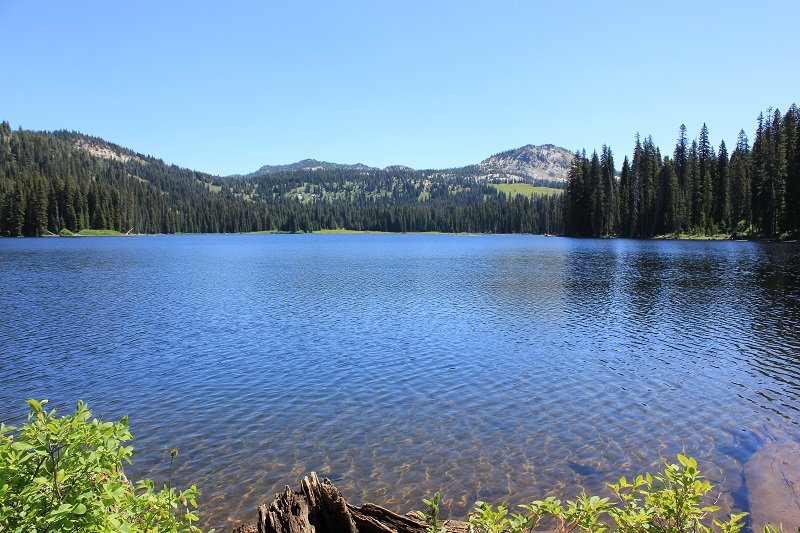
This view of Boulder Lake is taken from the south shore near the dam and you are looking east. Our camp was in the small point of trees just to the left of center on the far end of the lake.
There are 2 or 3 nice campsites along the southern shore. Once you get past this point the foot traffic almost disappears. We only had one fisherman work his way past our camp and heard one group on the main trail near the junction.
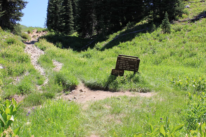
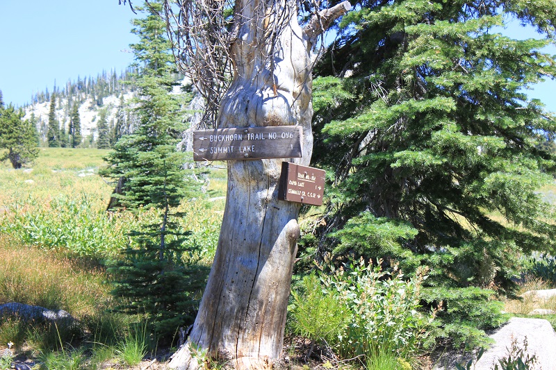
Just past the lake Boulder Lake Trail intersects with Paddy Flats Lake Fork Trail. Coordinates are N 44 degrees 52.064' by W 115 degrees 58.840' and the elevation is just over 7000 feet. We turned left and followed it back to the lake where we camped for 2 nights. Straight up the hill leads to Rapid Lake which Kevin and I hiked into the next day.
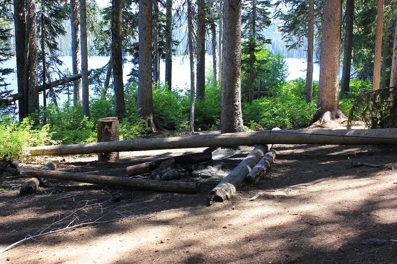
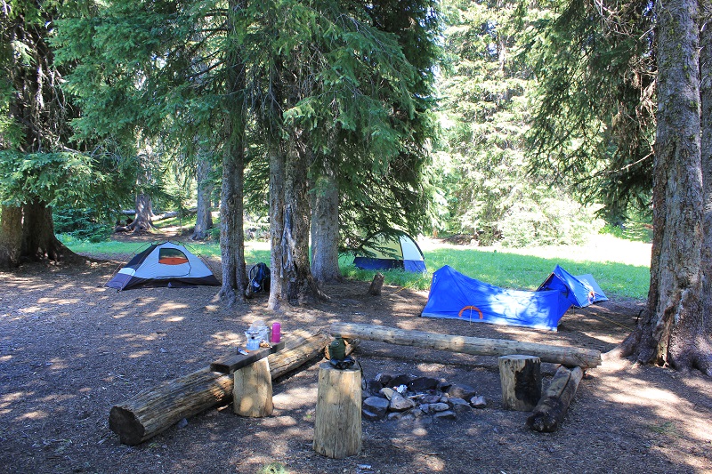
Our campsite nestled in some trees on the east end of the lake. Coordinates are N 44 degrees 52.159' by W 115 degrees 55.996' with an elevation of 7000 feet.
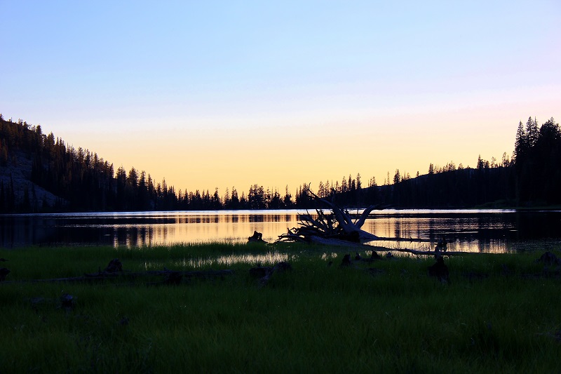
The sunsets were mostly blocked by smoke to the west.
We made a new friend and named her Jazelle.
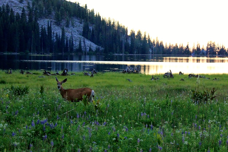
Jazelle was very friendly and later became annoying as she would graze around our camp in the night waking us up.
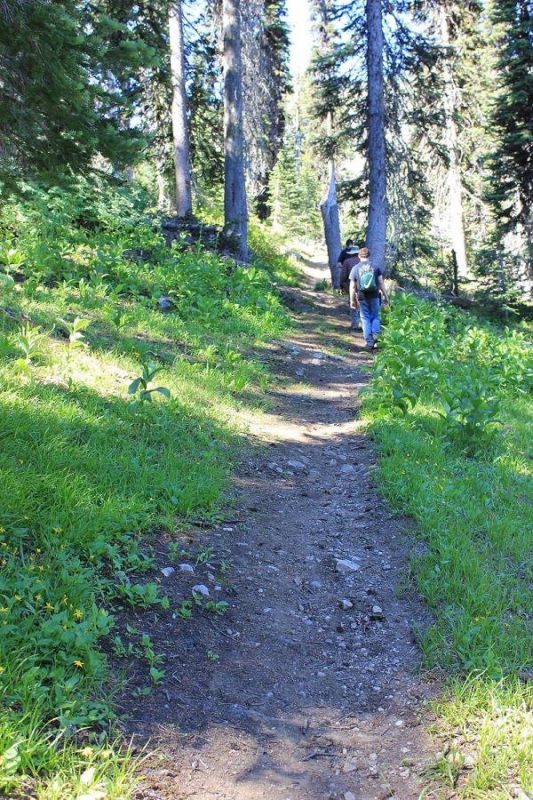
The next morning we got ready and hiked to Anderson Lake. I forgot my GPS but I do remember it was 800 feet gained to the saddle then a 450 foot loss to the lake. This is the view of the trail only a short way up looking back down the hill.
We made it to Anderson Lake. That is Tim, Kevin and Jeff from left to right, the mosquitos were everywhere. The campsite at the outlet of the lake was occupied.
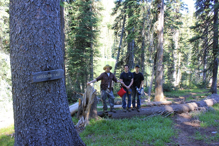
Anderson Lake, Idaho. It is only about a mile and a quarter from our camp on Boulder Lake. There is a fork to the right in the trail as you travel north from the junction of Boulder Lake Trail and Paddy Flats Lake Fork Trail but it is faint. If you miss it the trail leads down to our camp. But it is easier to see coming from Boulder Lake going back to look for it.
The hike out of Anderson Lake is steep but short.
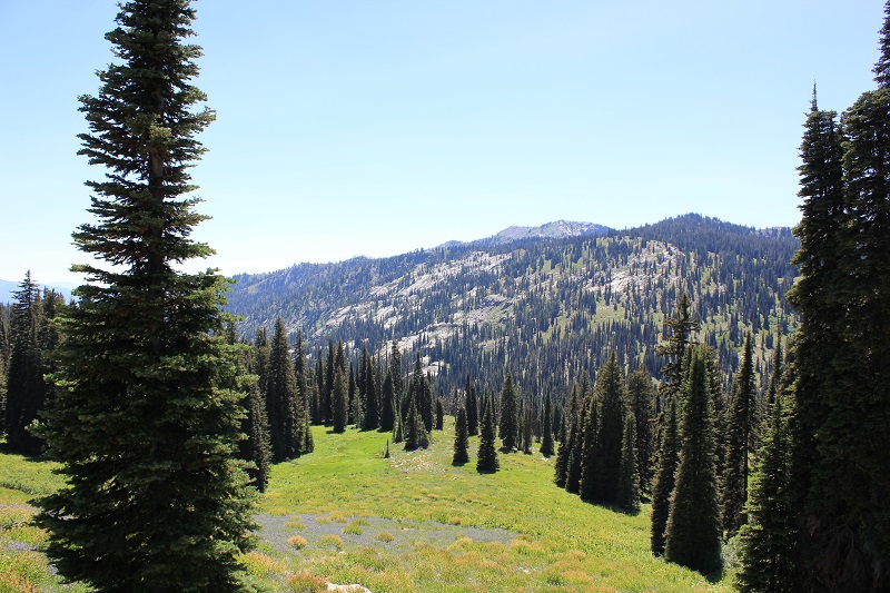
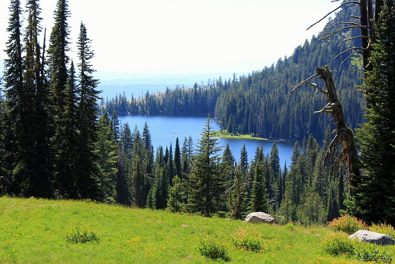
This is the view looking to the south southeast from the saddle between Boulder Lake and Anderson Lake. Summit Lake would be along the left side of this picture and Rapid Lake is about in the middle. The four of us did this hike in the morning and were back to camp around noon.
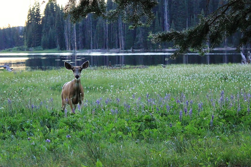
In the afernoon Kevin and I set out for Rapid Lake. It was the easiest hike to make and I was tired. I told you earlier that Rapid Lake was up the hill from the junction sign, well this is the slope above that. We found Jazelle grazing this slope in the open, she has no fear.
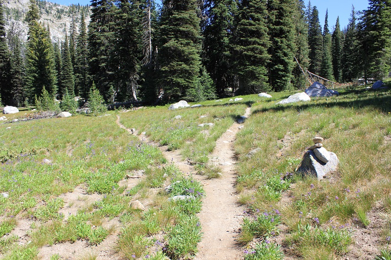
Part way up the slope you will find this fork in the trail, take the right fork.
After the fork in the trail, the trail leads to the south southeast. This is the view to the right side of the trail looking southwest.
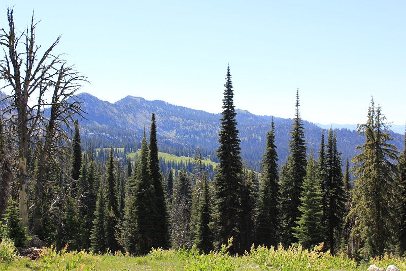
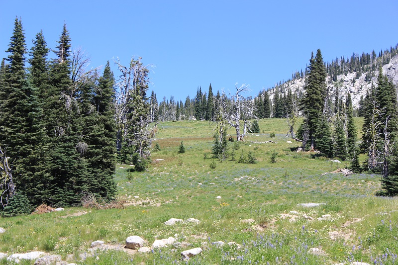
As you get closer to Rapid Lake you will encounter some large meadows.

After the meadows there is a short climb then start watching for this fork to the left it leads down to the lake. There are serveral nice campsites along the northern shoreline.
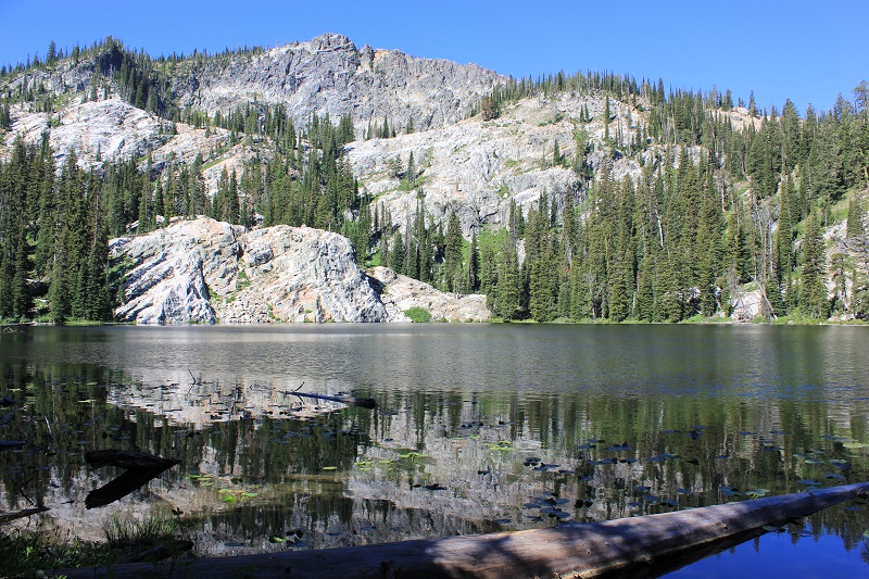
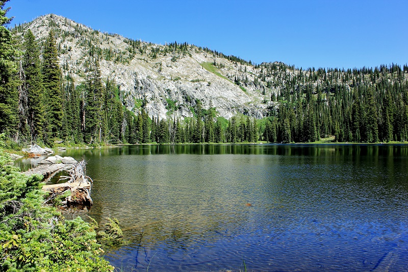
Rapid Lake from the west end looking east. The coordinates are N 44 degrees 51.412' by W 115 degrees 54.794'. The elevation is 7265 feet.
The west end of the lake is rather shallow but very picturesque.
This was our view of Boulder Lake on the way back to camp.
This review helps you see what you will find and gives you some information however I highly recommend purchasing "The Hiker's Guide to McCall & Cascade" by Scott Marchant. It includes many details and a topographical map. See his website at www.hikingidaho.com. We all greatly enjoyed our 3 day trip to Boulder Lake. Give it a try!